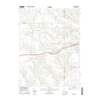
2015 Map of Dennison
USGS Topo · Published 2015About this map
Dennison and Weaver anchor this section of the Illinois-Indiana border, where the agrarian landscape of Clark County meets the Wabash River valley. The map documents a territory defined by the Old National Hwy and a network of named rural roads connecting small hamlets like Ferrel, Patton, and Farrington. This document is particularly valuable for genealogical research, locating several family and community burial grounds including Cumberland Cem, Dennison Cem, and Farris Cem. To the southeast, the terrain shifts as Crooked Cr and Hawks Cr drain toward the river, passing through the bottomlands near Chestnut Bayou. Smaller water bodies like Windemere Lake and Wanda Lake stand out against the geometric grid of county lines and survey townships.
Find a feature on this map
76 named features on this map. Tap any name to fly to it.
Don’t see what you’re looking for? This feature index may not catch every label — zoom into the map to look around manually.
Map Details
Editions of this 2015 Dennison Map
This is the sole edition of this map. No revisions or reprints were ever made.
Other maps of this area

1932 · Marshall
USGS Topo · 1:62,500

1937 · Marshall
USGS Topo · 1:62,500

1940 · Pimento
USGS Topo · 1:24,000

1941 · Terre Haute
USGS Topo · 1:24,000

1942 · Hutton
USGS Topo · 1:24,000

1942 · Dennison
USGS Topo · 1:24,000

1947 · Paris
USGS Topo · 1:62,500

1948 · Terre Haute
USGS Topo · 1:24,000

1949 · Paris
USGS Topo · 1:62,500

1950 · New Goshen
USGS Topo · 1:24,000