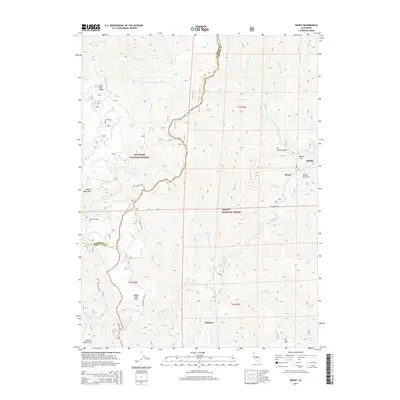
2015 Map of Denny
USGS Topo · Published 2015About this map
New River and its mountain tributaries define this landscape within the Trinity National Forest and Six Rivers National Forest. Small settlements such as Denny, Quinby, and Hoboken are situated along the river valley, connected by the forest road network including Forest Rte 7N04. The geography is shaped by steep elevation changes between the riverbanks and high peaks like Happy Camp Mtn and Big Mtn. Several named gulches, including Scotts Gulch and Birdie M Gulch, suggest a history of prospecting or small-scale mining in the area's canyon systems. The map captures the remote character of the Humboldt and Trinity county line, where complex drainages like Panther Cr and Horse Linto Cr meet the primary river corridor.
Find a feature on this map
36 named features on this map. Tap any name to fly to it.
Don’t see what you’re looking for? This feature index may not catch every label — zoom into the map to look around manually.
Map Details
Editions of this 2015 Denny Map
This is the sole edition of this map. No revisions or reprints were ever made.
Other maps of this area

1909 · Big Bar
USGS Topo · 1:96,000

1915 · Big Bar and Vicinity
USGS Topo · 1:250,000

1922 · China Flat
USGS Topo · 1:62,500

1925 · Hoopa
USGS Topo · 1:125,000

1948 · Weed
USGS Topo · 1:250,000

1950 · Weed
USGS Topo · 1:250,000

1951 · Ironside Mountain
USGS Topo · 1:62,500

1952 · Willow Creek
USGS Topo · 1:62,500

1952 · Hoopa
USGS Topo · 1:62,500

1955 · Salmon Mtn
USGS Topo · 1:62,500