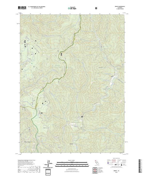
2023 Map of Denny
USGS Topo · Published 2023About this map
Denny and the nearby riverside settlement of Hoboken anchor this mountainous portion of the Humboldt and Trinity County line. The landscape is defined by the steep drainage of the New River, which flows through the Trinity Wild and Scenic River corridor. The area's topography is marked by significant ridges and peaks, including Lone Pine Ridge and Happy Camp Mtn, while Groves Prairie offers a rare break in the timbered slopes. The map traces the winding route of Denny Road, the primary artery connecting these isolated mountain communities. Notable landmarks like McAtee Bar and Scotts Gulch reflect the era's focus on river-based geography. Large portions of the terrain are protected within the Trinity Alps Wilderness and Six Rivers National Forest, preserving the character of this remote river valley.
Find a feature on this map
44 named features on this map. Tap any name to fly to it.
Don’t see what you’re looking for? This feature index may not catch every label — zoom into the map to look around manually.
Map Details
Editions of this 2023 Denny Map
This is the sole edition of this map. No revisions or reprints were ever made.
Other maps of this area

1909 · Big Bar
USGS Topo · 1:96,000

1915 · Big Bar and Vicinity
USGS Topo · 1:250,000

1922 · China Flat
USGS Topo · 1:62,500

1925 · Hoopa
USGS Topo · 1:125,000

1948 · Weed
USGS Topo · 1:250,000

1950 · Weed
USGS Topo · 1:250,000

1951 · Ironside Mountain
USGS Topo · 1:62,500

1952 · Willow Creek
USGS Topo · 1:62,500

1952 · Hoopa
USGS Topo · 1:62,500

1955 · Salmon Mtn
USGS Topo · 1:62,500