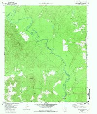
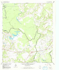
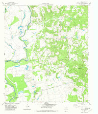
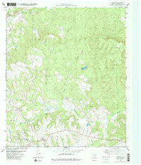
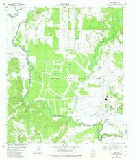
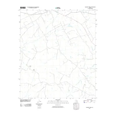
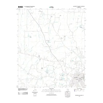
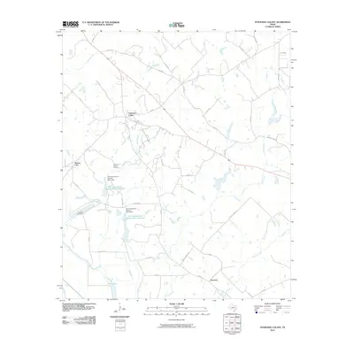
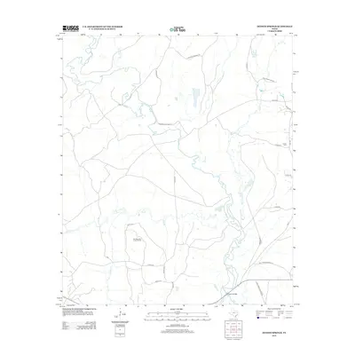
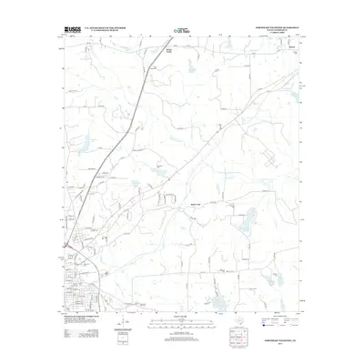
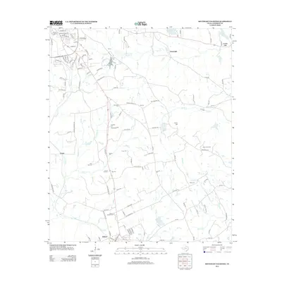
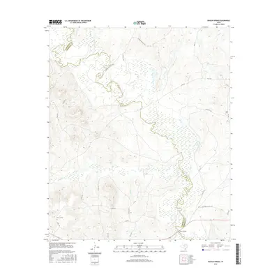
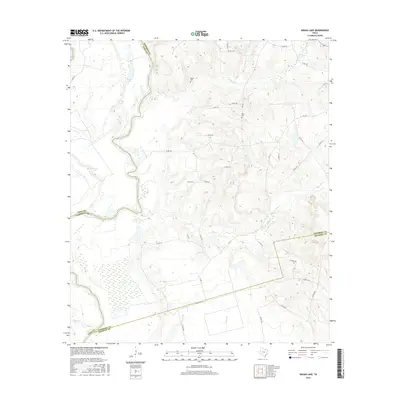
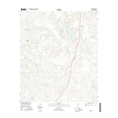
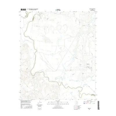
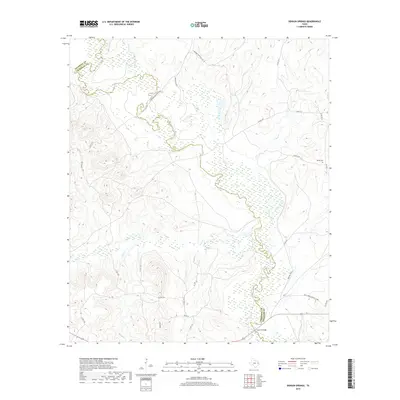
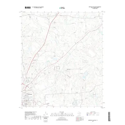
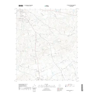
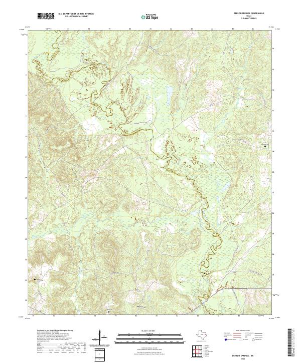
1982 Map of Denson Springs
USGS Topo · Published 1982About this map
The Neches River carves a winding path through the heart of the East Texas timberlands, defining the boundary between Anderson and Cherokee Counties. This landscape is characterized by dense woodland and significant watercourses, including Ioni Creek, Bull Creek, and Tails Creek. The map documents a period when the timber industry and rail transport left a lasting physical imprint, evidenced by the Old Railroad Grade and Old RR Grade that traverse the terrain near the I D Fairchild State Forest.
Find a feature on this map
21 named features on this map. Tap any name to fly to it.
Don’t see what you’re looking for? This feature index may not catch every label — zoom into the map to look around manually.
Map Details
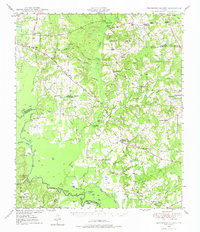
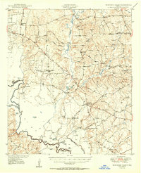
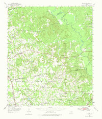
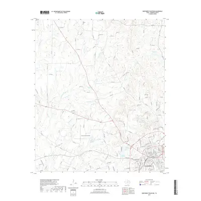
Editions of this 1982 Denson Springs Map
This is the sole edition of this map. No revisions or reprints were ever made.
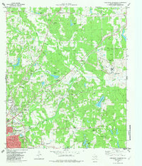
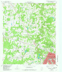
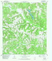
Historical Maps of Anderson County Through Time
93 maps found
1949 Tennessee Colony
Anderson County, TX
1950 Tennessee Colony
Anderson County, TX
1952 Slocum
Anderson County, TX
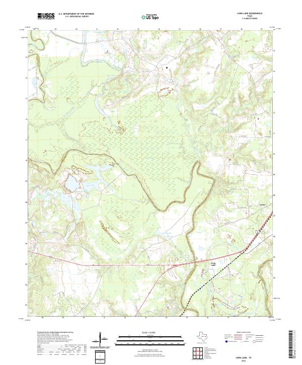
1964 Long Lake
Anderson County, TX
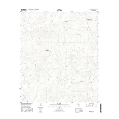
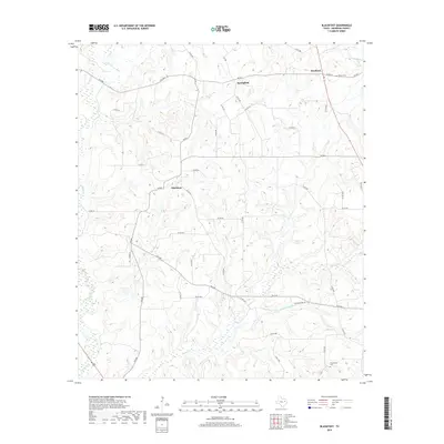
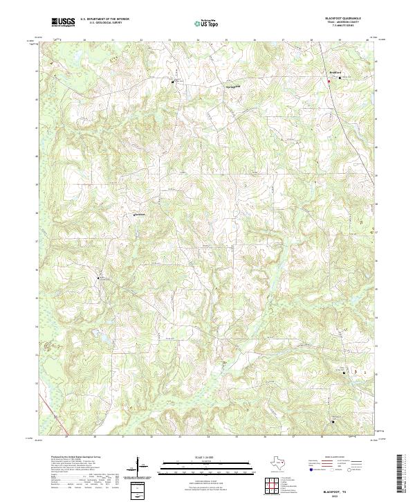
1982 Blackfoot
Anderson County, TX
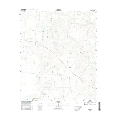
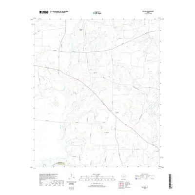
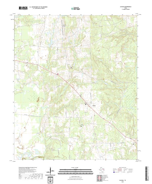
1982 Cayuga
Anderson County, TX
1982 Denson Springs
Anderson County, TX
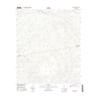
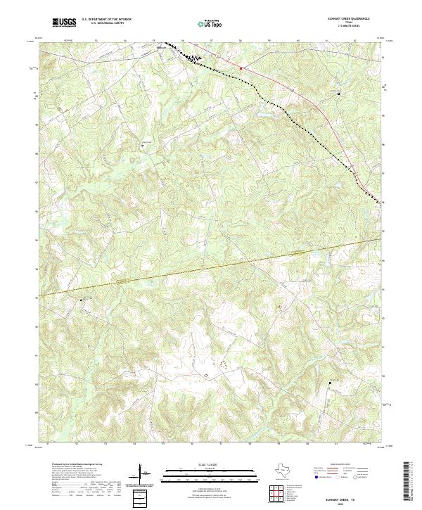
1982 Elkhart Creek
Anderson County, TX
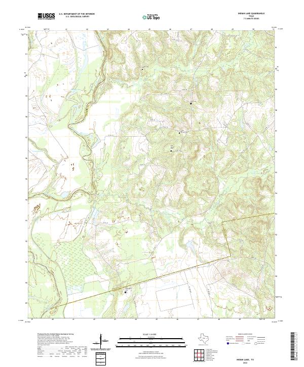
1982 Indian Lake
Anderson County, TX
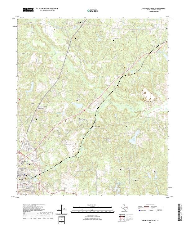
1982 Northeast Palestine
Anderson County, TX
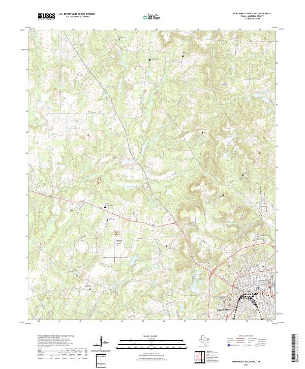
1982 Northwest Palestine
Anderson County, TX
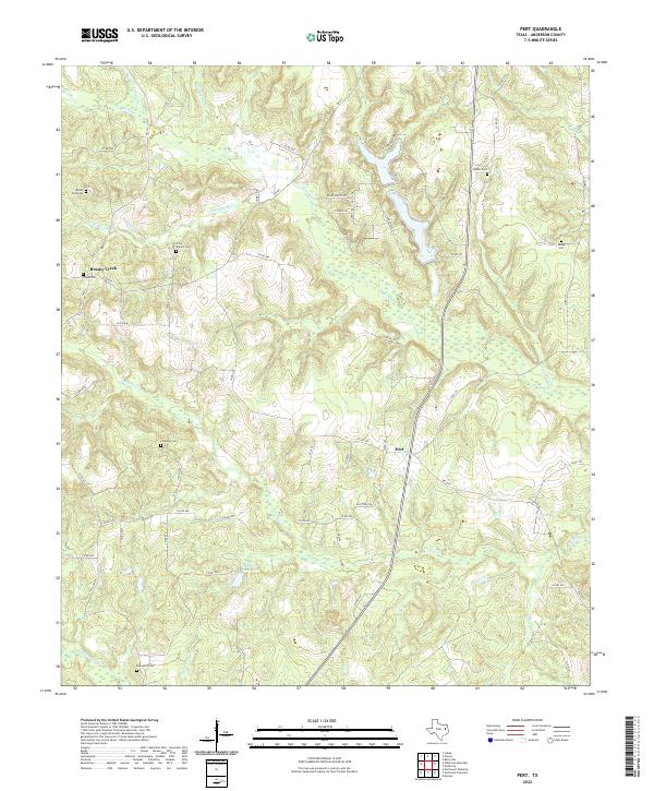
1982 Pert
Anderson County, TX
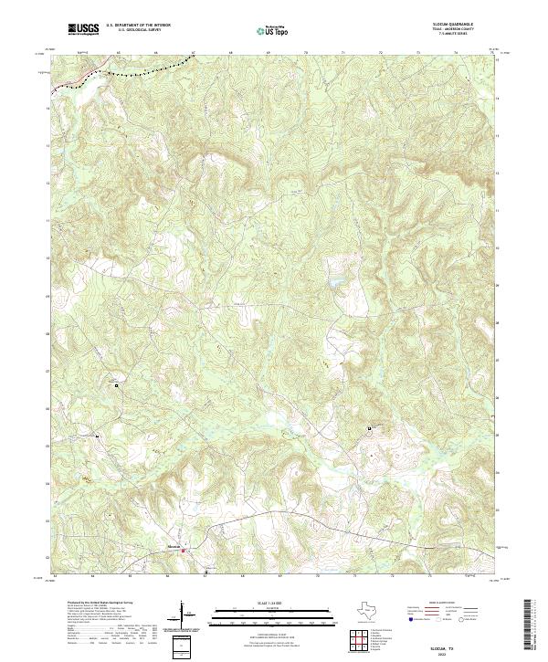
1982 Slocum
Anderson County, TX
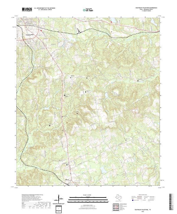
1982 Southeast Palestine
Anderson County, TX
1982 Southwest Palestine
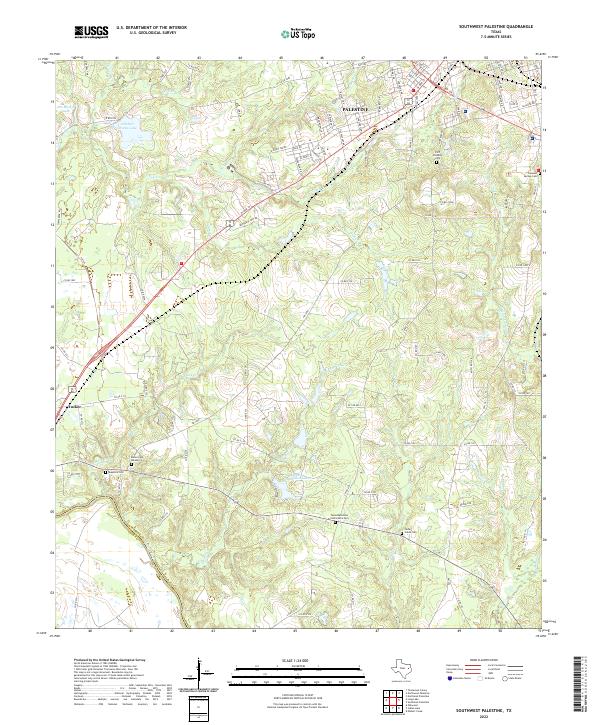
Anderson County, TX

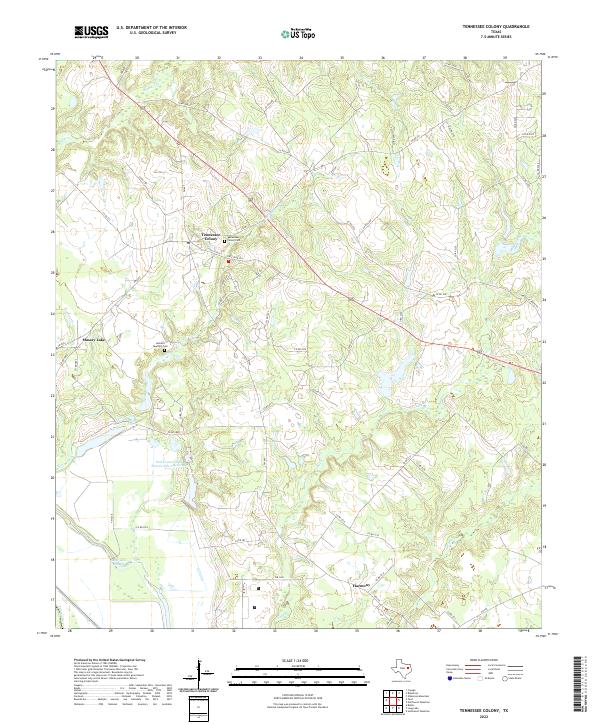
1982 Tennessee Colony
Anderson County, TX
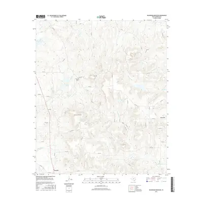
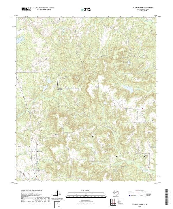
1982 Wilkerson Mountain
Anderson County, TX
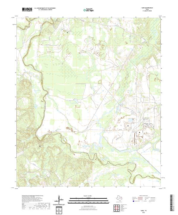
1982 Yard
Anderson County, TX
2010 Blackfoot
Anderson County, TX
2010 Cayuga
Anderson County, TX
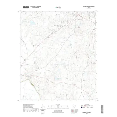
2010 Denson Springs
Anderson County, TX
2010 Elkhart Creek
Anderson County, TX
2010 Indian Lake
Anderson County, TX
2010 Long Lake
Anderson County, TX
2010 Northeast Palestine
Anderson County, TX
2010 Northwest Palestine
Anderson County, TX
2010 Pert
Anderson County, TX

2010 Slocum
Anderson County, TX
2010 Southeast Palestine
Anderson County, TX
2010 Southwest Palestine
Anderson County, TX
2010 Tennessee Colony
Anderson County, TX
2010 Wilkerson Mountain
Anderson County, TX

2010 Yard
Anderson County, TX
2013 Blackfoot
Anderson County, TX
2013 Cayuga
Anderson County, TX
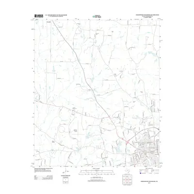
2013 Denson Springs
Anderson County, TX
2013 Elkhart Creek
Anderson County, TX
2013 Indian Lake
Anderson County, TX
2013 Long Lake
Anderson County, TX
2013 Northeast Palestine
Anderson County, TX
2013 Northwest Palestine
Anderson County, TX
2013 Pert
Anderson County, TX
2013 Slocum
Anderson County, TX
2013 Southeast Palestine
Anderson County, TX
2013 Southwest Palestine
Anderson County, TX
2013 Tennessee Colony
Anderson County, TX
2013 Wilkerson Mountain
Anderson County, TX

2013 Yard
Anderson County, TX
2016 Blackfoot
Anderson County, TX
2016 Cayuga
Anderson County, TX
2016 Denson Springs
Anderson County, TX
2016 Elkhart Creek
Anderson County, TX
2016 Indian Lake
Anderson County, TX
2016 Long Lake
Anderson County, TX
2016 Northeast Palestine
Anderson County, TX
2016 Northwest Palestine
Anderson County, TX
2016 Pert
Anderson County, TX

2016 Slocum
Anderson County, TX
2016 Southeast Palestine
Anderson County, TX
2016 Southwest Palestine
Anderson County, TX
2016 Tennessee Colony
Anderson County, TX
2016 Wilkerson Mountain
Anderson County, TX
2016 Yard
Anderson County, TX
2019 Blackfoot
Anderson County, TX
2019 Cayuga
Anderson County, TX
2019 Denson Springs
Anderson County, TX
2019 Elkhart Creek
Anderson County, TX
2019 Indian Lake
Anderson County, TX
2019 Long Lake
Anderson County, TX
2019 Northeast Palestine
Anderson County, TX
2019 Northwest Palestine
Anderson County, TX
2019 Pert
Anderson County, TX
2019 Slocum
Anderson County, TX
2019 Southeast Palestine
Anderson County, TX
2019 Southwest Palestine
Anderson County, TX
2019 Tennessee Colony
Anderson County, TX
2019 Wilkerson Mountain
Anderson County, TX
2019 Yard
Anderson County, TX
2022 Blackfoot
Anderson County, TX
2022 Cayuga
Anderson County, TX
2022 Denson Springs
Anderson County, TX
2022 Elkhart Creek
Anderson County, TX
2022 Indian Lake
Anderson County, TX
2022 Long Lake
Anderson County, TX
2022 Northeast Palestine
Anderson County, TX
2022 Northwest Palestine
Anderson County, TX
2022 Pert
Anderson County, TX
2022 Slocum
Anderson County, TX
2022 Southeast Palestine
Anderson County, TX
2022 Southwest Palestine
Anderson County, TX
2022 Tennessee Colony
Anderson County, TX
2022 Wilkerson Mountain
Anderson County, TX
2022 Yard
Anderson County, TX