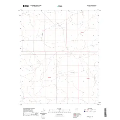
2023 Map of Denton Camp
USGS Topo · Published 2023About this map
Water management dominates the arid landscape of this Chaves County quadrangle, where a sophisticated network of tanks supports life and ranching. The terrain is marked by essential catchment points such as Circle Y Tank and Alden Lee Tank in the north, stretching down to White Tank in the south. These features, often named for families or specific locations, highlight the vital role of water sourcing in this region of New Mexico. In the southwestern corner, Salt Cedar Lake provides a natural hydrological contrast to the man-made infrastructure.
Find a feature on this map
18 named features on this map. Tap any name to fly to it.
Don’t see what you’re looking for? This feature index may not catch every label — zoom into the map to look around manually.
Map Details
Editions of this 2023 Denton Camp Map
This is the sole edition of this map. No revisions or reprints were ever made.
Other maps of this area

1954 · Brownfield
USGS Topo · 1:250,000

1955 · Roswell
USGS Topo · 1:250,000

1958 · Brownfield
USGS Topo · 1:250,000

1958 · Roswell
USGS Topo · 1:250,000

1962 · Roswell
USGS Topo · 1:250,000

1962 · Brownfield
USGS Topo · 1:250,000

1967 · Haystack Mountain
USGS Topo · 1:24,000

1967 · Hernandez Lake
USGS Topo · 1:24,000
1967 · Haystack Butte
USGS Topo · 1:24,000

1967 · Elkins
USGS Topo · 1:24,000