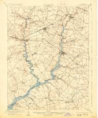
1905 Map of Denton
USGS Topo · Published 1927About this map
Steamboat routes and river commerce define this early twentieth-century landscape in the heart of Maryland's Eastern Shore. The Tuckahoe River and its surrounding marshlands serve as the primary artery for transportation, with numerous landings and wharves such as Wayman Wharf, Kingston Landing, and Ganey Wharf facilitating the movement of goods before modern highway systems dominated the region. These landings connected remote farmsteads to wider markets via the Steamboat Route that snaked through the tidewater.
Find a feature on this map
79 named features on this map. Tap any name to fly to it.
Don’t see what you’re looking for? This feature index may not catch every label — zoom into the map to look around manually.
Map Details
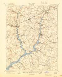
Editions of this 1905 Denton Map
3 editions found
Other maps of this area

1898 · Choptank
USGS Topo · 1:125,000

1898 · Tolchester
USGS Topo · 1:125,000

1899 · Dover
USGS Topo · 1:125,000

1901 · Chestertown
USGS Topo · 1:62,500

1903 · Tolchester
USGS Topo · 1:125,000

1904 · St. Michaels
USGS Topo · 1:62,500

1904 · Oxford
USGS Topo · 1:62,500

1905 · Denton
USGS Topo · 1:62,500

1905 · Barclay
USGS Topo · 1:62,500

1905 · Hurlock
USGS Topo · 1:62,500