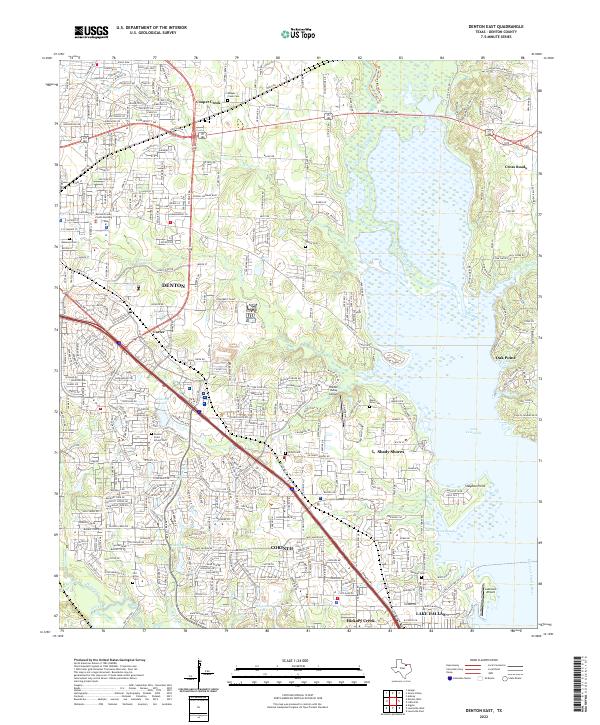
2022 Map of Denton East
USGS Topo · Published 2022About this map
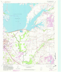
Lake Lewisville dominates the eastern landscape of this Denton County region, its irregular shoreline forming numerous inlets such as Graveyard Slough and Cantrell Slough. The suburban expansion of Denton, Corinth, and Lake Dallas is clearly visible, showing a dense network of residential streets and major transit corridors like I-35 E and the Lewisville Lake Toll Rd.
Find a feature on this map
46 named features on this map. Tap any name to fly to it.
Don’t see what you’re looking for? This feature index may not catch every label — zoom into the map to look around manually.
Map Details
Editions of this 2022 Denton East Map
This is the sole edition of this map. No revisions or reprints were ever made.
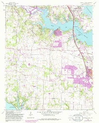
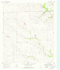
Historical Maps of Mingo Through Time
13 maps found

1925 Mc Kinney 3-c
Denton County, TX
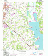
1960 Denton East
Denton County, TX
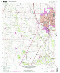
1960 Denton West
Denton County, TX
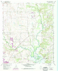
1960 Green Valley
Denton County, TX
1960 Lewisville East
Denton County, TX
1960 Lewisville West
Denton County, TX
1961 Era SE
Denton County, TX
2022 Denton East
Denton County, TX
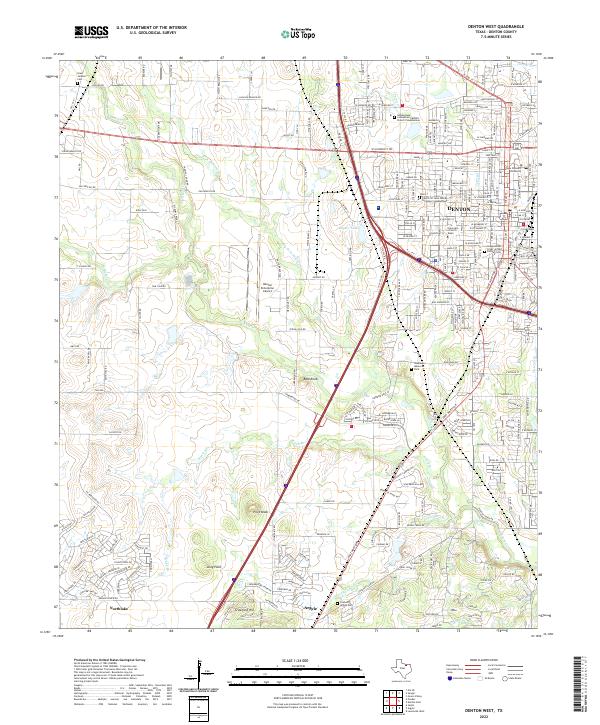
2022 Denton West
Denton County, TX
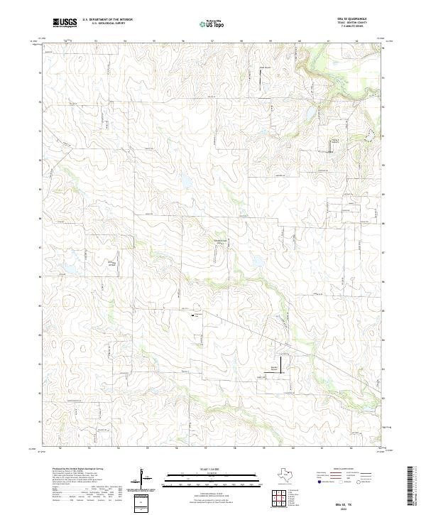
2022 Era SE
Denton County, TX
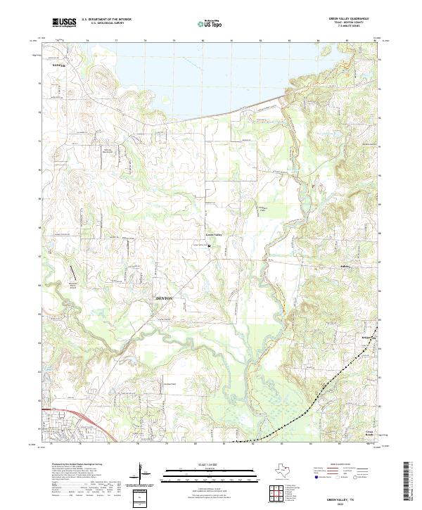
2022 Green Valley
Denton County, TX
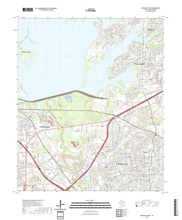
2022 Lewisville East
Denton County, TX
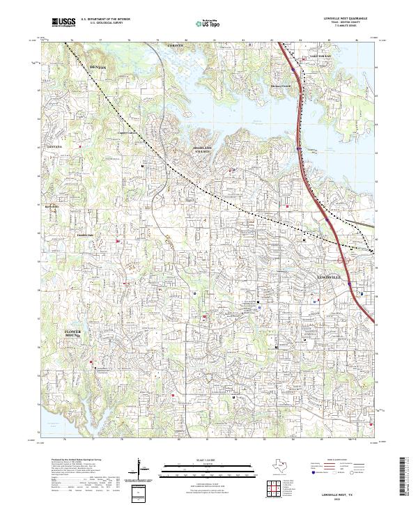
2022 Lewisville West
Denton County, TX