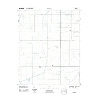
2012 Map of Denton
USGS Topo · Published 2012About this map
Main Ditch and its associated water management channels define the geometric landscape of this Pemiscot County region, reflecting the extensive drainage systems required to cultivate the fertile lowlands of the Bootheel. The area is marked by a series of small agricultural communities, including Denton, Hermondale, and Covington, which are interconnected by an organized grid of county roads such as CO Hwy 461 and CO Rd 484.
Find a feature on this map
46 named features on this map. Tap any name to fly to it.
Don’t see what you’re looking for? This feature index may not catch every label — zoom into the map to look around manually.
Map Details
Editions of this 2012 Denton Map
This is the sole edition of this map. No revisions or reprints were ever made.
Other maps of this area
1934 · Kennett
USGS Topo · 1:62,500
1939 · Blytheville
USGS Topo · 1:62,500
1940 · Kennett
USGS Topo · 1:62,500
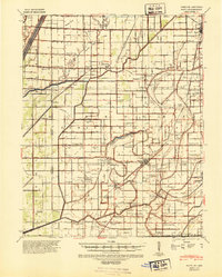
1940 · Hayti
USGS Topo · 1:62,500
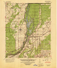
1941 · Manila
USGS Topo · 1:62,500

1953 · Memphis
USGS Topo · 1:250,000
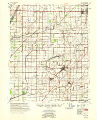
1955 · Hayti
USGS Topo · 1:62,500
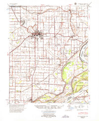
1955 · Blytheville
USGS Topo · 1:62,500
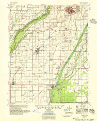
1956 · Kennett
USGS Topo · 1:62,500
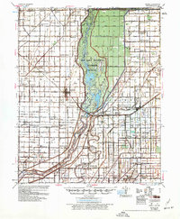
1956 · Manila
USGS Topo · 1:62,500