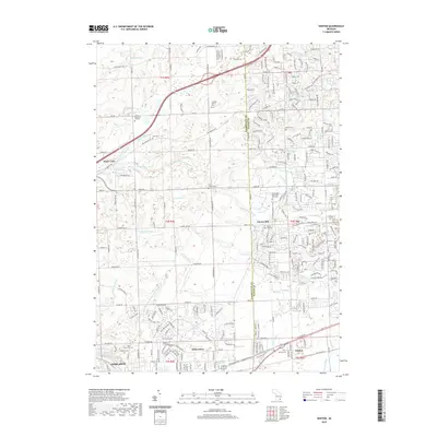
2019 Map of Denton
USGS Topo · Published 2019About this map
Cherry Hill and Denton anchor this portion of the Michigan landscape, where the rural past meets modern suburban growth across the border of Washtenaw Co and Wayne Co. The map reveals a high concentration of burial grounds and family sites, such as the Laraway Family Plot, Pray Cem, and the Free Church Cem, which serve as critical markers for local genealogists. These quiet corners are connected by a grid of significant thoroughfares including Ford Rd and Michigan Ave, tracing historical movement between major centers.
Find a feature on this map
58 named features on this map. Tap any name to fly to it.
Don’t see what you’re looking for? This feature index may not catch every label — zoom into the map to look around manually.
Map Details
Editions of this 2019 Denton Map
This is the sole edition of this map. No revisions or reprints were ever made.
Other maps of this area

1902 · South Lyon
USGS Topo · 1:62,500

1902 · Ypsilanti
USGS Topo · 1:62,500

1904 · Ann Arbor
USGS Topo · 1:125,000

1905 · Wayne
USGS Topo · 1:62,500

1906 · Ypsilanti
USGS Topo · 1:62,500

1906 · South Lyon
USGS Topo · 1:62,500

1906 · Romulus
USGS Topo · 1:62,500

1908 · Ann Arbor
USGS Topo · 1:125,000

1912 · Wayne
USGS Topo · 1:62,500

1928 · Romulus
USGS Topo · 1:62,500
Featured Places
- Canton Township, MI
- Ypsilanti Charter Township, MI
- Van Buren Charter Township, MI
- Plymouth Charter Township, MI
- Ypsilanti, MI