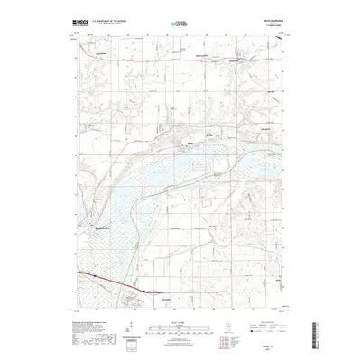
2021 Map of Depue
USGS Topo · Published 2021About this map
The Illinois River creates a wide, hydrologically complex basin here, defining the boundary between Bureau and Putnam counties. This waterway supports an extensive network of backwater features, including Depue Lake, Spring Lake, and Lower Spring Lake, alongside the managed Hormel Ponds. The river's influence is central to the area's geography, with the Old Channel Big Bureau Cr and Bureau Cr converging near the western rail and road hub of Bureau Junction. On the southern bank, the village of Hennepin serves as a civic anchor, centered on the Putnam County Courthouse.
Find a feature on this map
117 named features on this map. Tap any name to fly to it.
Don’t see what you’re looking for? This feature index may not catch every label — zoom into the map to look around manually.
Map Details
Editions of this 2021 Depue Map
This is the sole edition of this map. No revisions or reprints were ever made.
Other maps of this area

1893 · Lacon
USGS Topo · 1:62,500

1893 · Hennepin
USGS Topo · 1:62,500

1893 · Lasalle
USGS Topo · 1:62,500

1909 · Hennepin
USGS Topo · 1:62,500

1911 · La Salle
USGS Topo · 1:62,500

1911 · Hennepin
USGS Topo · 1:62,500

1913 · La Salle
USGS Topo · 1:62,500

1933 · Lacon
USGS Topo · 1:62,500

1934 · Wenona
USGS Topo · 1:48,000

1937 · Lacon
USGS Topo · 1:62,500