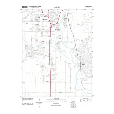
2010 Map of Derby
USGS Topo · Published 2010About this map
The Arkansas River and Big Slough define the landscape south of Wichita during this period of suburban expansion. The map details the growing residential corridors of Derby and Haysville, documenting the complex network of local roads such as MacArthur Rd and E Grand Ave that connect these satellite communities to the industrial and military hubs of the region.
Find a feature on this map
90 named features on this map. Tap any name to fly to it.
Don’t see what you’re looking for? This feature index may not catch every label — zoom into the map to look around manually.
Map Details
Editions of this 2010 Derby Map
This is the sole edition of this map. No revisions or reprints were ever made.
Other maps of this area

1889 · Wichita
USGS Topo · 1:125,000
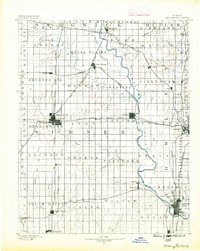
1890 · Wellington
USGS Topo · 1:125,000
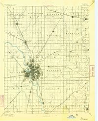
1894 · Wichita
USGS Topo · 1:125,000
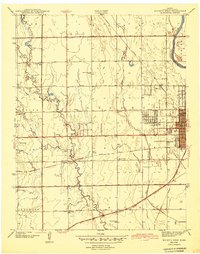
1943 · Wichita West
USGS Topo · 1:31,680
1943 · Wichita East
USGS Topo · 1:31,680
1943 · Derby
USGS Topo · 1:31,680
1943 · Bayneville
USGS Topo · 1:31,680
1945 · Andover
USGS Topo · 1:31,680
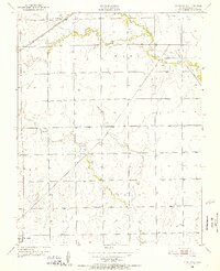
1950 · Bayneville
USGS Topo · 1:24,000
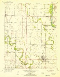
1955 · Belle Plaine
USGS Topo · 1:24,000