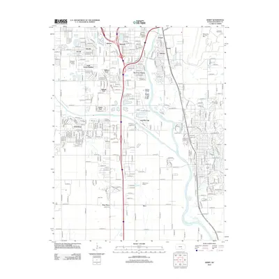
2012 Map of Derby
USGS Topo · Published 2012About this map
Haysville serves as a primary hub of residential and street development south of Wichita, characterized by a dense grid that gives way to the expansive agricultural and industrial outskirts of Sedgwick County. The map reveals a transition from these urban corridors to the aeronautical and military landscape dominated by the McConnell Air Force Base in the northeast and smaller aviation sites like Westport Auxiliary Airport and Selby Farm Airport. The Arkansas River and its accompanying Big Slough define the local drainage, with the Wichita-Valley Center Floodway cutting through the center of the sheet. Genealogists will find interest in the documented locations of several local burial grounds, including Waco Cem and El Paso Cem, while the southern reaches near Wego-Waco and Waco show the spread of infrastructure along the major north-south transit lines.
Find a feature on this map
99 named features on this map. Tap any name to fly to it.
Don’t see what you’re looking for? This feature index may not catch every label — zoom into the map to look around manually.
Map Details
Editions of this 2012 Derby Map
This is the sole edition of this map. No revisions or reprints were ever made.
Other maps of this area

1889 · Wichita
USGS Topo · 1:125,000

1890 · Wellington
USGS Topo · 1:125,000

1894 · Wichita
USGS Topo · 1:125,000

1943 · Wichita West
USGS Topo · 1:31,680

1943 · Wichita East
USGS Topo · 1:31,680

1943 · Derby
USGS Topo · 1:31,680

1943 · Bayneville
USGS Topo · 1:31,680

1945 · Andover
USGS Topo · 1:31,680

1950 · Bayneville
USGS Topo · 1:24,000

1955 · Belle Plaine
USGS Topo · 1:24,000