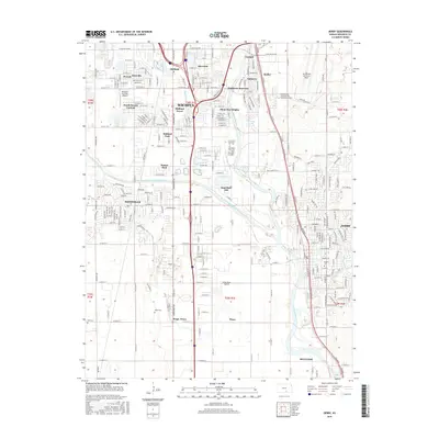
2015 Map of Derby
USGS Topo · Published 2015About this map
The Arkansas River and the Wichita-Valley Center Floodway dominate the landscape of south-central Kansas, providing a critical hydrological framework for the suburban expansion south of Wichita. This geographic study captures the dense residential networks of Haysville and Derby during a period of significant regional growth. The presence of aviation infrastructure, including Mc Connell Air Force Base and smaller facilities like Westport Auxiliary Airport, underscores the area's long-standing connection to the aerospace industry.
Find a feature on this map
103 named features on this map. Tap any name to fly to it.
Don’t see what you’re looking for? This feature index may not catch every label — zoom into the map to look around manually.
Map Details
Editions of this 2015 Derby Map
This is the sole edition of this map. No revisions or reprints were ever made.
Other maps of this area

1889 · Wichita
USGS Topo · 1:125,000

1890 · Wellington
USGS Topo · 1:125,000

1894 · Wichita
USGS Topo · 1:125,000

1943 · Wichita West
USGS Topo · 1:31,680

1943 · Wichita East
USGS Topo · 1:31,680

1943 · Derby
USGS Topo · 1:31,680

1943 · Bayneville
USGS Topo · 1:31,680

1945 · Andover
USGS Topo · 1:31,680

1950 · Bayneville
USGS Topo · 1:24,000

1955 · Belle Plaine
USGS Topo · 1:24,000