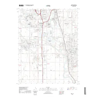
2018 Map of Derby
USGS Topo · Published 2018About this map
The Arkansas River corridor south of Wichita anchors this survey, revealing a landscape defined by industrial infrastructure and residential expansion in Sedgwick County. Large-scale military and aviation footprints are prominent, notably the extensive grounds of Mc Connell Air Force Base and the Westport Auxiliary Airport. The map documents the complex water management systems of the region, including the Wichita-Valley Center Floodway and the winding Cowskin Creek.
Find a feature on this map
93 named features on this map. Tap any name to fly to it.
Don’t see what you’re looking for? This feature index may not catch every label — zoom into the map to look around manually.
Map Details
Editions of this 2018 Derby Map
This is the sole edition of this map. No revisions or reprints were ever made.
Other maps of this area

1889 · Wichita
USGS Topo · 1:125,000

1890 · Wellington
USGS Topo · 1:125,000

1894 · Wichita
USGS Topo · 1:125,000

1943 · Wichita West
USGS Topo · 1:31,680

1943 · Wichita East
USGS Topo · 1:31,680

1943 · Derby
USGS Topo · 1:31,680

1943 · Bayneville
USGS Topo · 1:31,680

1945 · Andover
USGS Topo · 1:31,680

1950 · Bayneville
USGS Topo · 1:24,000

1955 · Belle Plaine
USGS Topo · 1:24,000