
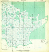
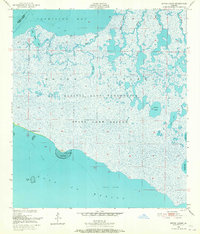
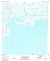
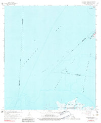
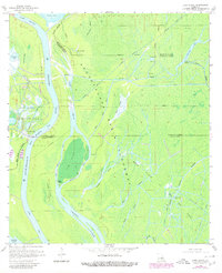
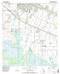
1937 Map of Derouen
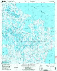
USGS Topo · Published 1963This historical map portrays the area of Derouen in 1937, primarily covering Iberia Parish as well as portions of Vermilion Parish and St. Mary Parish. Featuring a scale of 1:62500, this map provides a highly detailed snapshot of the terrain, roads, buildings, counties, and historical landmarks in the Derouen region at the time. Published in 1963, it is the sole known edition of this map.
Find a feature on this map
84 named features on this map. Tap any name to fly to it.
Don’t see what you’re looking for? This feature index may not catch every label — zoom into the map to look around manually.
Map Details
Editions of this 1937 Derouen Map
This is the sole edition of this map. No revisions or reprints were ever made.
Historical Maps of Olivier Through Time
28 maps found
1932 Bayou Blanc
Iberia Parish, LA
1937 Derouen
Iberia Parish, LA
1948 Bayou Blanc
Iberia Parish, LA
1948 Cypremort Point
Iberia Parish, LA
1949 Bayou Lucien
Iberia Parish, LA
1951 Bayou Lucien
Iberia Parish, LA
1951 Lake Point
Iberia Parish, LA
1951 Mound Point
Iberia Parish, LA

1963 Derouen
Iberia Parish, LA
1963 New Iberia South
Iberia Parish, LA
1963 Tigre Lagoon
Iberia Parish, LA
1963 Weeks
Iberia Parish, LA

1966 Derouen
Iberia Parish, LA
1968 Bayou Blanc
Iberia Parish, LA
1968 Bayou Lucien
Iberia Parish, LA
1968 Cypremort Point
Iberia Parish, LA
1968 Marsh Island
Iberia Parish, LA
1968 Mound Point
Iberia Parish, LA
1969 Pigeon
Iberia Parish, LA
1970 Lake Chicot
Iberia Parish, LA
1970 Lake Point
Iberia Parish, LA
1983 New Iberia North
Iberia Parish, LA
1994 Cypremort Point
Iberia Parish, LA
1994 New Iberia South
Iberia Parish, LA
1994 Tigre Lagoon
Iberia Parish, LA
1994 Weeks
Iberia Parish, LA
1998 Bayou Lucien
Iberia Parish, LA
1999 Bayou Blanc
Iberia Parish, LA