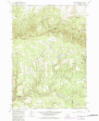
1966 Map of Derr Meadows
USGS Topo · Published 1985About this map
Ochoco National Forest defines this high-elevation landscape along the border of Wheeler and Crook counties. The map documents a significant historical footprint of land management and early transit, most notably the Old Military Road winding through the center and the presence of the Camp Watson (Site) near a small Cemetery. This area serves as a vital watershed for several drainages, including Derr Creek, Haypress Creek, and the West Branch Rock Creek.
Find a feature on this map
38 named features on this map. Tap any name to fly to it.
Don’t see what you’re looking for? This feature index may not catch every label — zoom into the map to look around manually.
Map Details
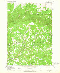
Editions of this 1966 Derr Meadows Map
2 editions found
Other maps of this area

1926 · Mitchell
USGS Topo · 1:125,000

1932 · Dayville
USGS Topo · 1:125,000

1936 · Dayville
USGS Topo · 1:125,000

1953 · Richmond
USGS Topo · 1:62,500

1955 · Bend
USGS Topo · 1:250,000

1955 · Canyon City
USGS Topo · 1:250,000

1957 · Bend
USGS Topo · 1:250,000

1958 · Bend
USGS Topo · 1:250,000

1959 · Canyon City
USGS Topo · 1:250,000

1966 · Keys Creek
USGS Topo · 1:24,000