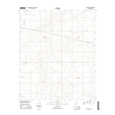
2017 Map of Derrick Draw
USGS Topo · Published 2017About this map
Buffalo Valley and the namesake Derrick Draw characterize this section of Chaves County, where the high desert terrain is defined by wide drainage basins and a network of rural routes. The landscape is primarily shaped by the winding path of the Long Arroyo, which cuts through the northeastern reaches of the map. While the area lacks dense settlements, the intricate web of named roads — including Aberdeen Rd, Katrina Rd, and Harriet Rd — suggests a landscape divided by ranching or agricultural activity. These paths, alongside Elaine Rd and Mary Lou Rd, follow the natural contours of the land, providing access across the broad basins and around the low ridges that dominate the local topography in the mid-2010s.
Find a feature on this map
17 named features on this map. Tap any name to fly to it.
Don’t see what you’re looking for? This feature index may not catch every label — zoom into the map to look around manually.
Map Details
Editions of this 2017 Derrick Draw Map
This is the sole edition of this map. No revisions or reprints were ever made.
Other maps of this area

1950 · Dexter East
USGS Topo · 1:24,000

1951 · Ninemile Well
USGS Topo · 1:24,000

1951 · King Camp
USGS Topo · 1:24,000

1951 · Diamond Mound
USGS Topo · 1:24,000

1951 · Hagerman
USGS Topo · 1:24,000

1952 · Connor Well
USGS Topo · 1:24,000

1952 · Bar C Bar Ranch
USGS Topo · 1:24,000

1953 · Basin Well
USGS Topo · 1:24,000

1954 · Carlsbad
USGS Topo · 1:250,000

1955 · Artesia NE
USGS Topo · 1:24,000