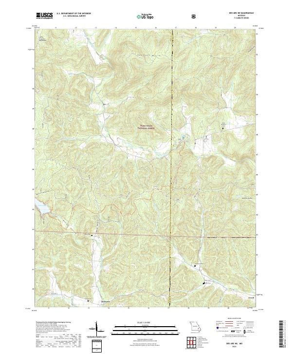
2021 Map of Des Arc NE
USGS Topo · Published 2021About this map
The Saint Francois Mountains dominate the western portion of this landscape, characterized by complex drainage systems and isolated settlements within the Mark Twain National Forest. Small communities such as Minimum and Jewett anchor the lower elevations, while numerous family burying grounds, including Black Mountain Cem, White Cem, and Shoemaker Cem, are scattered across the terrain. These sites offer significant value for genealogical research in this part of Missouri, tracing the settlement patterns along the many hollows and creek beds.
Find a feature on this map
41 named features on this map. Tap any name to fly to it.
Don’t see what you’re looking for? This feature index may not catch every label — zoom into the map to look around manually.
Map Details
Editions of this 2021 Des Arc NE Map
This is the sole edition of this map. No revisions or reprints were ever made.
Other maps of this area

1926 · Des Arc
USGS Topo · 1:62,500

1929 · Des Arc
USGS Topo · 1:62,500

1930 · Coldwater
USGS Topo · 1:62,500

1937 · Ironton
USGS Topo · 1:48,000

1939 · Fredericktown
USGS Topo · 1:48,000

1945 · Ironton
USGS Topo · 1:62,500

1946 · Ironton
USGS Topo · 1:62,500

1947 · Fredericktown
USGS Topo · 1:62,500

1949 · Rolla
USGS Topo · 1:250,000

1949 · Coldwater
USGS Topo · 1:62,500