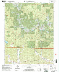
2000 Map of Des Arc NE
USGS Topo · Published 2003About this map
Jewett and Minimum anchor the southern reaches of this landscape, situated near the headwaters of Sulphur Creek and Tiik Creek. The area is defined by the dense woodlands of the Mark Twain National Forest, where high elevations like Patterson Mountain and Black Mountain rise above the drainage basins of Marble Creek and Little Rock Creek. A network of rural cemeteries, including Liberty United Cem and Davis Cem, points to a long-established community structure within the hollows.
Find a feature on this map
29 named features on this map. Tap any name to fly to it.
Don’t see what you’re looking for? This feature index may not catch every label — zoom into the map to look around manually.
Map Details
Editions of this 2000 Des Arc NE Map
This is the sole edition of this map. No revisions or reprints were ever made.
Other maps of this area

1926 · Des Arc
USGS Topo · 1:62,500

1929 · Des Arc
USGS Topo · 1:62,500

1930 · Coldwater
USGS Topo · 1:62,500

1937 · Ironton
USGS Topo · 1:48,000

1939 · Fredericktown
USGS Topo · 1:48,000

1945 · Ironton
USGS Topo · 1:62,500

1946 · Ironton
USGS Topo · 1:62,500

1947 · Fredericktown
USGS Topo · 1:62,500

1949 · Rolla
USGS Topo · 1:250,000

1949 · Coldwater
USGS Topo · 1:62,500