
1956 Map of Des Moines SE
USGS Topo · Published 1958About this map
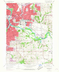
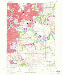
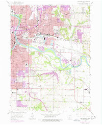
The Des Moines River and Raccoon River converge at the heart of this mid-century survey, anchoring the capital city's dense urban grid and industrial corridors. In the southeast, the landscape transitions from the busy city streets toward the rural reaches of Avon and Avon Lake, where the Chicago Rock Island and Pacific railroad tracks cut through the river valley. The map documents the extensive civic infrastructure of Des Moines during a period of post-war expansion, featuring the State Capitol and the sprawling State Fairground. To the south, Fort Des Moines remains a prominent landmark, while educational institutions like Grandview College and dozens of neighborhood schools, such as East High Sch and Sabin Sch, illustrate the era's local community layout. This detailed topography also reveals the industrial activity along the river, including a Strip Mine and various oil tanks near the rail lines.
Find a feature on this map
107 named features on this map. Tap any name to fly to it.
Don’t see what you’re looking for? This feature index may not catch every label — zoom into the map to look around manually.
Map Details
Editions of this 1956 Des Moines SE Map
4 editions found
Other maps of this area

1905 · Des Moines
USGS Topo · 1:62,500

1907 · Des Moines
USGS Topo · 1:62,500

1910 · Milo
USGS Topo · 1:62,500

1930 · Mitchellville
USGS Topo · 1:62,500

1931 · Indianola
USGS Topo · 1:62,500

1954 · Des Moines
USGS Topo · 1:250,000

1956 · Des Moines
USGS Topo · 1:250,000

1956 · Des Moines NW
USGS Topo · 1:24,000

1956 · Des Moines SW
USGS Topo · 1:24,000

1956 · Des Moines NE
USGS Topo · 1:24,000