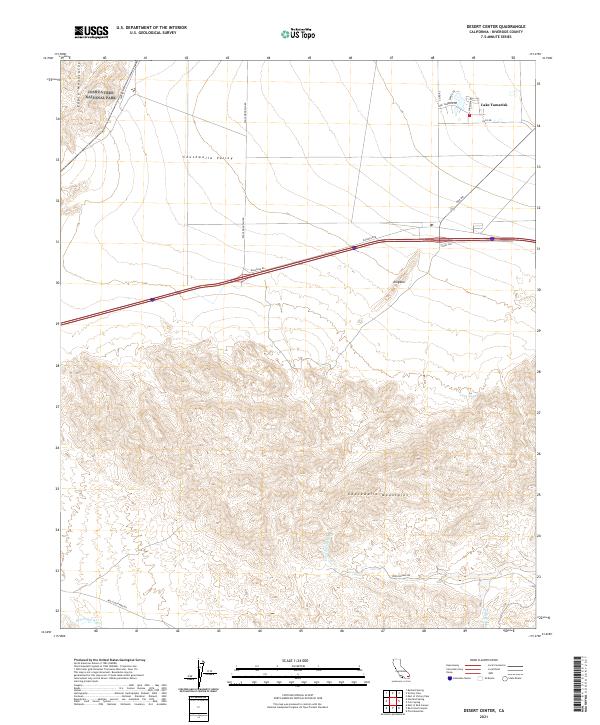
2021 Map of Desert Center
USGS Topo · Published 2021About this map
Chuckwalla Valley defines the central corridor of this desert landscape, serving as a transit artery between the Eagle Mountains to the northwest and the Chuckwalla Mountains to the south. The settlement around Lake Tamarisk stands out as a distinct community hub, with a network of residential streets like Lake Tamarisk Dr and Parkview Dr contrasting against the expansive open terrain. The northern boundary of the map transitions into the protected wilderness of Joshua Tree National Park. This survey reveals the critical role of desert water management and access, tracing named drainages such as Corn Springs Wash and Irish Wash, alongside primitive access routes like Red Cloud Mine Rd that lead toward the rugged interior. The placement of Long Tank and the presence of names like Alligator suggest localized landmarks essential for navigation in this arid environment.
Find a feature on this map
26 named features on this map. Tap any name to fly to it.
Don’t see what you’re looking for? This feature index may not catch every label — zoom into the map to look around manually.
Map Details
Editions of this 2021 Desert Center Map
This is the sole edition of this map. No revisions or reprints were ever made.
Other maps of this area

1940 · Canyon Spring
USGS Topo · 1:62,500

1943 · Canyon Spring
USGS Topo · 1:62,500

1943 · Coxcomb Mountains
USGS Topo · 1:62,500

1944 · Eagle Tank
USGS Topo · 1:62,500

1944 · Chuckwalla Mountains
USGS Topo · 1:62,500

1944 · Coxcomb Mountains
USGS Topo · 1:62,500

1954 · Salton Sea
USGS Topo · 1:250,000

1955 · Salton Sea
USGS Topo · 1:250,000

1959 · Salton Sea
USGS Topo · 1:250,000

1963 · Salton Sea
USGS Topo · 1:250,000