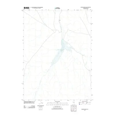
2012 Map of Desert Ranch
USGS Topo · Published 2012About this map
Desert Ranch Reservoir serves as the central hydrological feature of this arid high-desert landscape in northeastern Nevada. Located along the course of Fourmile Creek, the reservoir supports the namesake Desert Ranch, a prominent point of human activity in an otherwise sparsely settled region. The terrain is defined by the convergence of seasonal drainage systems, including the southern reach of Chimney Creek, which cuts through the basin. This 2012 survey illustrates the essential relationship between water management and ranching in Elko County, where the storage of creek runoff was vital for sustaining life and livestock in the Great Basin's interior. The map documents the persistent layout of ranching infrastructure and remote dirt tracks that have defined the local economy for generations.
Find a feature on this map
4 named features on this map. Tap any name to fly to it.
Don’t see what you’re looking for? This feature index may not catch every label — zoom into the map to look around manually.
Map Details
Editions of this 2012 Desert Ranch Map
This is the sole edition of this map. No revisions or reprints were ever made.
Other maps of this area

1955 · McDermitt
USGS Topo · 1:250,000

1959 · McDermitt
USGS Topo · 1:250,000

1964 · Hat Peak
USGS Topo · 1:62,500

1964 · Wilson Reservoir
USGS Topo · 1:62,500

1973 · Twelvemile Flat
USGS Topo · 1:24,000
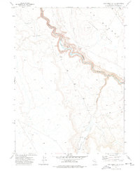
1974 · Twelvemile Flat SE
USGS Topo · 1:24,000

1974 · Middle Draw Reservoir
USGS Topo · 1:24,000

1974 · Winters Ranch Reservoir
USGS Topo · 1:24,000

1974 · Desert Ranch
USGS Topo · 1:24,000
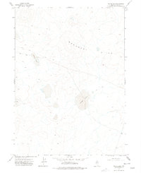
1977 · Silver Lake
USGS Topo · 1:24,000