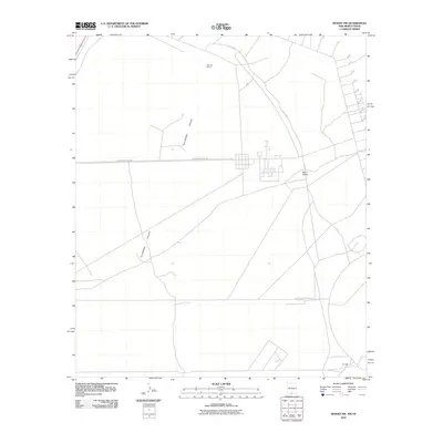
2010 Map of Desert SW
USGS Topo · Published 2010About this map
Tularosa Valley defines this arid landscape in southern New Mexico, where sparse development meets the sprawling basin floor. The sheet reflects a specialized geography of military and infrastructure routes, characterized by long stretches of McGregor Range Rd and intersecting tracks like N I F C Rd and S I F C Rd. These roads navigate a terrain largely shaped by tectonic and volcanic history, indicated by landmarks such as Davis Dome. Small pockets of human presence appear at the Jal Post Office and the isolated Hot Well near the southern boundary. This 2010 depiction provides a clear view of the high-desert road network and the limited but essential water and communication points that sustain activity in this part of Otero County.
Find a feature on this map
7 named features on this map. Tap any name to fly to it.
Don’t see what you’re looking for? This feature index may not catch every label — zoom into the map to look around manually.
Map Details
Editions of this 2010 Desert SW Map
This is the sole edition of this map. No revisions or reprints were ever made.
Other maps of this area

1896 · El Paso
USGS Topo · 1:125,000

1908 · El Paso
USGS Topo · 1:125,000

1939 · Heuco Tanks
USGS Topo · 1:62,500

1940 · Heuco Tanks
USGS Topo · 1:62,500

1940 · Newman
USGS Topo · 1:62,500

1941 · Desert
USGS Topo · 1:62,500

1942 · Fort Bliss
USGS Topo · 1:62,500

1943 · Desert
USGS Topo · 1:62,500

1943 · Newman
USGS Topo · 1:62,500

1944 · Heuco Tanks
USGS Topo · 1:62,500