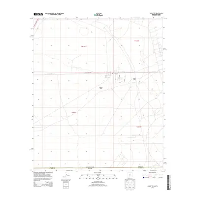
2013 Map of Desert SW
USGS Topo · Published 2013About this map
Tularosa Valley defines the arid landscape of this border region, where the high desert meets the administrative lines of the New Mexico-Texas state boundary and the Otero-El Paso county line. The map reveals the infrastructure of a military-managed corridor, dominated by the McGregor Range Rd and a grid of specialized service roads including Patriot St, Ajax St, and Carlsbad Rd. Near the center of this industrial and tactical landscape, a lone Po marker suggests a hub of activity or a former outpost in an otherwise open expanse. To the east, the terrain rises toward Davis Dome, a distinctive topographic feature that breaks the valley floor. This 2013 survey provides a detailed record of land divisions and road networks within a controlled government area, documenting how mid-century military expansion shaped the modern topography of southern New Mexico.
Find a feature on this map
21 named features on this map. Tap any name to fly to it.
Don’t see what you’re looking for? This feature index may not catch every label — zoom into the map to look around manually.
Map Details
Editions of this 2013 Desert SW Map
This is the sole edition of this map. No revisions or reprints were ever made.
Other maps of this area

1896 · El Paso
USGS Topo · 1:125,000

1908 · El Paso
USGS Topo · 1:125,000

1939 · Heuco Tanks
USGS Topo · 1:62,500

1940 · Heuco Tanks
USGS Topo · 1:62,500

1940 · Newman
USGS Topo · 1:62,500

1941 · Desert
USGS Topo · 1:62,500

1942 · Fort Bliss
USGS Topo · 1:62,500

1943 · Desert
USGS Topo · 1:62,500

1943 · Newman
USGS Topo · 1:62,500

1944 · Heuco Tanks
USGS Topo · 1:62,500