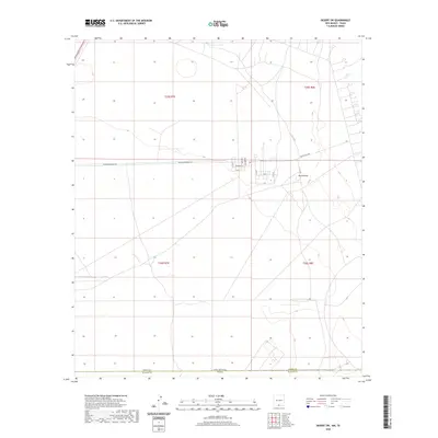
2020 Map of Desert SW
USGS Topo · Published 2020About this map
Davis Dome stands as a prominent topographical landmark in this arid stretch of the Chihuahuan Desert, where the state lines of New Mexico and Texas meet. The landscape is defined by the intersection of Otero and El Paso Counties, marked by a network of utility and military-access routes supporting the McGregor Range. This area shows a distinct grid of infrastructure, including Mcgregor Range Rd and a cluster of named streets such as Ajax St, Hercules St, and Patriot St. The map illustrates the 21st-century spatial organization of this borderland, where wide-open sections of t25s r7e and t26s r8e are carved by specialized thoroughfares like Main Access Rd and the N I F C Rd, reflecting the region's contemporary role in government and range management.
Find a feature on this map
21 named features on this map. Tap any name to fly to it.
Don’t see what you’re looking for? This feature index may not catch every label — zoom into the map to look around manually.
Map Details
Editions of this 2020 Desert SW Map
This is the sole edition of this map. No revisions or reprints were ever made.
Other maps of this area

1896 · El Paso
USGS Topo · 1:125,000

1908 · El Paso
USGS Topo · 1:125,000

1939 · Heuco Tanks
USGS Topo · 1:62,500

1940 · Heuco Tanks
USGS Topo · 1:62,500

1940 · Newman
USGS Topo · 1:62,500

1941 · Desert
USGS Topo · 1:62,500

1942 · Fort Bliss
USGS Topo · 1:62,500

1943 · Desert
USGS Topo · 1:62,500

1943 · Newman
USGS Topo · 1:62,500

1944 · Heuco Tanks
USGS Topo · 1:62,500