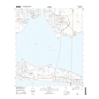
2015 Map of Destin
USGS Topo · Published 2015About this map
Destin and the surrounding emerald coast communities are defined by their deep connection to the Gulf of Mexico and Choctawhatchee Bay. This 2015 layout illustrates the developed shoreline from Norreigo Point to Moreno Point, showing how the modern street grid integrates with historical water features like Joes Bayou and Jones Bayou. The map captures the significant infrastructure supporting the region's growth, most notably the Destin-Fort Walton Beach Airport and the critical path of the Intracoastal Waterway. To the north, the established settlements of Niceville and Valparaiso border the waters of Boggy Bayou. This survey provides a precise look at the residential expansion and coastal geography of Okaloosa County during the mid-2010s, including smaller locales like Postil and Villa Tasso along the bay's northern reach.
Find a feature on this map
186 named features on this map. Tap any name to fly to it.
Don’t see what you’re looking for? This feature index may not catch every label — zoom into the map to look around manually.
Map Details
Editions of this 2015 Destin Map
This is the sole edition of this map. No revisions or reprints were ever made.
Other maps of this area

1934 · Holt
USGS Topo · 1:48,000

1934 · Niceville
USGS Topo · 1:48,000

1935 · Villa Tasso
USGS Topo · 1:48,000

1936 · Niceville
USGS Topo · 1:62,500

1937 · Holt
USGS Topo · 1:62,500

1938 · Mary Esther
USGS Topo · 1:62,500

1938 · Villa Tasso
USGS Topo · 1:62,500

1956 · Niceville
USGS Topo · 1:62,500

1956 · Fort Walton Beach
USGS Topo · 1:62,500

1956 · Holt
USGS Topo · 1:62,500