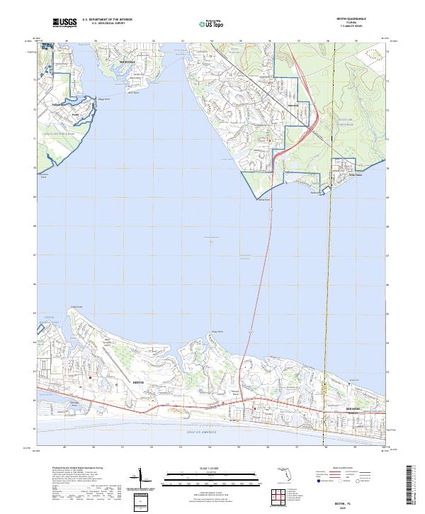
2025 Map of Destin
USGS Topo · Published 2025About this map
Choctawhatchee Bay serves as the central hub of this coastal landscape, separating the bustling shorelines of Destin from the northern mainland communities of Niceville and Valparaiso. The geography is defined by a complex network of protected waters, including Boggy Bayou, Rocky Bayou, and Destin Harbor, which have long shaped the maritime character of the region. On the southern peninsula, the residential and commercial layout of Miramar Beach and Destin is bisected by the Emerald Coast Pkwy W, while the Destin Executive Airport provides a critical aviation link. To the north, the footprint of Eglin Air Force Base dominates much of the interior, illustrating the significant military presence that coexists with the local settlements. Notable landmarks such as the Haugen Cem and the Florida Circumnavigational Paddling Trl highlight the intersection of local history and modern recreational use along the Gulf of America.
Find a feature on this map
54 named features on this map. Tap any name to fly to it.
Don’t see what you’re looking for? This feature index may not catch every label — zoom into the map to look around manually.
Map Details
Editions of this 2025 Destin Map
This is the sole edition of this map. No revisions or reprints were ever made.
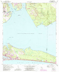
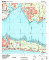
Historical Maps of Villa Tasso Through Time
3 maps found