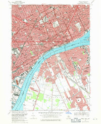
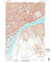
1968 Map of Detroit
USGS Topo · Published 1971This historical map portrays the area of Detroit in 1968, primarily covering Wayne County. Featuring a scale of 1:24000, this map provides a highly detailed snapshot of the terrain, roads, buildings, counties, and historical landmarks in the Detroit region at the time. Published in 1971, it is one of 4 known editions of this map due to revisions or reprints.
Find a feature on this map
143 named features on this map. Tap any name to fly to it.
Don’t see what you’re looking for? This feature index may not catch every label — zoom into the map to look around manually.
Map Details
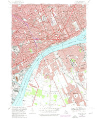
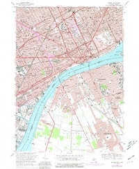
Editions of this 1968 Detroit Map
4 editions found
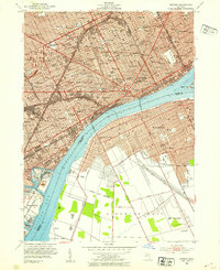
Historical Maps of Ecorse Through Time
15 maps found

1905 Detroit
Wayne County, MI

1918 Detroit
Wayne County, MI

1924 Detroit
Wayne County, MI

1934 Detroit
Wayne County, MI

1937 Detroit
Wayne County, MI

1940 Detroit
Wayne County, MI

1947 Detroit
Wayne County, MI
1952 Detroit
Wayne County, MI

1954 Detroit
Wayne County, MI

1954 Detroit
Wayne County, MI

1961 Detroit
Wayne County, MI

1965 Detroit
Wayne County, MI
1968 Detroit
Wayne County, MI

1985 Detroit
Wayne County, MI

1989 Detroit
Wayne County, MI