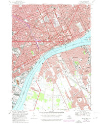
1968 Map of Detroit
USGS Topo · Published 1974About this map
Detroit and the Canadian city of Windsor face one another across the Detroit River in this detailed urban survey. The American side is defined by the massive infrastructure of the Edsel Ford Freeway and Lodge Freeway systems, cutting through historic neighborhoods dotted with parish schools like St Agnes Sch and St Hedwig Sch. The industrial character of the riverfront is evident at Zug Island and the Powerplant near the Rouge River, while the cultural core is anchored by Wayne State University and the Institute of Arts. Across the international border, the map details the Ontario neighborhoods of Sandwich, Sutherland, and East Windsor, connected to Michigan via the Ambassador Bridge. Prominent green spaces such as Belle Isle Park and the expansive grounds of Elmwood Cemetery provide a stark contrast to the dense grid of the metropolitan center.
Find a feature on this map
89 named features on this map. Tap any name to fly to it.
Don’t see what you’re looking for? This feature index may not catch every label — zoom into the map to look around manually.
Map Details
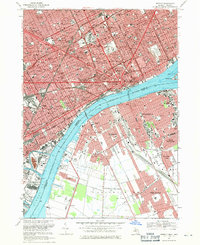
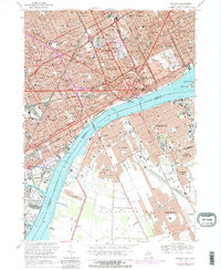
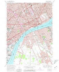
Editions of this 1968 Detroit Map
4 editions found
Other maps of this area

1905 · Detroit
USGS Topo · 1:62,500

1905 · Grosse Pointe
USGS Topo · 1:62,500

1906 · Wyandotte
USGS Topo · 1:62,500

1912 · Wyandotte
USGS Topo · 1:62,500

1918 · Detroit
USGS Topo · 1:62,500

1918 · Grosse Pointe
USGS Topo · 1:62,500

1924 · Detroit
USGS Topo · 1:62,500

1929 · Wyandotte
USGS Topo · 1:62,500

1934 · Detroit
USGS Topo · 1:62,500

1936 · Wyandotte
USGS Topo · 1:31,680