
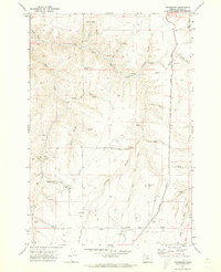
1970 Map of Devils Backbone
USGS Topo · Published 1973About this map
Devils Backbone dominates this high-plateau landscape, where the Sherman and Gilliam County border follows the meandering course of the John Day River. This arid canyon country is defined by deep incisions like Sixmile Canyon and Scott Canyon, creating a terrain where water sources are critical, as indicated by numerous unnamed Springs and a Cistern at the head of a canyon.
Find a feature on this map
22 named features on this map. Tap any name to fly to it.
Don’t see what you’re looking for? This feature index may not catch every label — zoom into the map to look around manually.
Map Details
Editions of this 1970 Devils Backbone Map
This is the sole edition of this map. No revisions or reprints were ever made.
Other maps of this area

1916 · Arlington
USGS Topo · 1:125,000

1916 · Condon
USGS Topo · 1:125,000

1953 · The Dalles
USGS Topo · 1:250,000

1956 · The Dalles
USGS Topo · 1:250,000

1957 · The Dalles
USGS Topo · 1:250,000

1964 · Turner Butte
USGS Topo · 1:24,000

1964 · Shutler Flat
USGS Topo · 1:24,000

1964 · Mc Donald
USGS Topo · 1:24,000

1970 · Igo Butte
USGS Topo · 1:24,000
1970 · Gwendolen
USGS Topo · 1:24,000