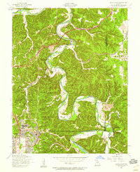
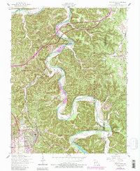
1954 Map of Devils Elbow
USGS Topo · Published 1959About this map
The Big Piney River carves a dramatic oxbow through the landscape at Devils Elbow, a focal point of this mid-century Missouri survey. The map documents the northern expansion of the Fort Leonard Wood Military Reservation, where the US Army Hospital and the Army RR intersect with older rural landmarks. Evidence of the area's transition is seen in the decommissioned facilities, such as the Low Gap School and Spring Creek School, while Calvary Church and Community Church continue to serve the local population. Significant geological features like Shanghai Spring and Rockwell Cave are noted along the river bluffs. In the north, 66 winds through the hills, passing near an Observatory and the small settlement of Hooker, illustrating the region's role as a transportation corridor between the military installation and the surrounding Mark Twain National Forest.
Find a feature on this map
45 named features on this map. Tap any name to fly to it.
Don’t see what you’re looking for? This feature index may not catch every label — zoom into the map to look around manually.
Map Details
Editions of this 1954 Devils Elbow Map
5 editions found
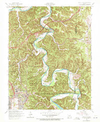
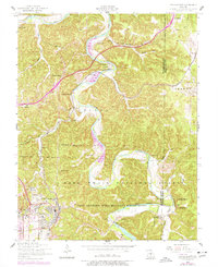
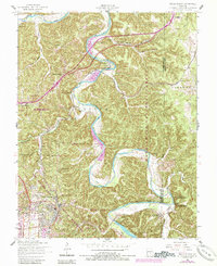
Other maps of this area

1912 · Rolla
USGS Topo · 1:62,500

1936 · Waynesville
USGS Topo · 1:48,000

1937 · Edgar Springs
USGS Topo · 1:48,000

1941 · Big Piney
USGS Topo · 1:62,500

1942 · Waynesville
USGS Topo · 1:62,500

1943 · Big Piney
USGS Topo · 1:62,500

1944 · Waynesville
USGS Topo · 1:62,500

1945 · Edgar Springs
USGS Topo · 1:62,500

1949 · Rolla
USGS Topo · 1:250,000

1950 · Newburg
USGS Topo · 1:24,000