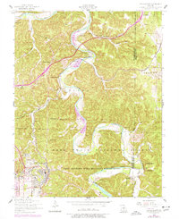
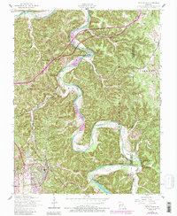
1954 Map of Devils Elbow
USGS Topo · Published 1977About this map
The Big Piney River carves a dramatic series of meanders through the Missouri Ozarks, including the sharp bend that gives Devils Elbow its name. This landscape is defined by the heavy presence of the Fort Leonard Wood Military Reservation, which occupies the southern half of the sheet. The military influence extends to transportation infrastructure like the U S Army RR, which connects to the mainline St Louis-San Francisco RR near Morgan Heights.
Find a feature on this map
44 named features on this map. Tap any name to fly to it.
Don’t see what you’re looking for? This feature index may not catch every label — zoom into the map to look around manually.
Map Details
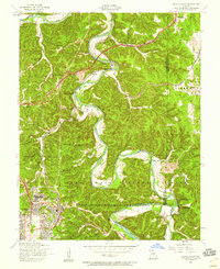
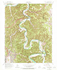
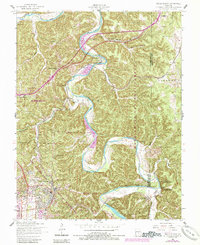
Editions of this 1954 Devils Elbow Map
5 editions found
Other maps of this area

1912 · Rolla
USGS Topo · 1:62,500

1936 · Waynesville
USGS Topo · 1:48,000

1937 · Edgar Springs
USGS Topo · 1:48,000

1941 · Big Piney
USGS Topo · 1:62,500

1942 · Waynesville
USGS Topo · 1:62,500

1943 · Big Piney
USGS Topo · 1:62,500

1944 · Waynesville
USGS Topo · 1:62,500

1945 · Edgar Springs
USGS Topo · 1:62,500

1949 · Rolla
USGS Topo · 1:250,000

1950 · Newburg
USGS Topo · 1:24,000