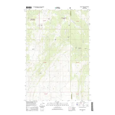
2017 Map of Devils Fence
USGS Topo · Published 2017About this map
Deerlodge National Forest and Helena National Forest converge in this high-elevation landscape of the Elkhorn Mountains. The topography is defined by a series of steep drainages, including Johnny Gulch, Cabin Gulch, and Saddle Gulch, which feed into larger watercourses like Slim Sam Cr and Sand Creek. The prominent peak of Devils Fence stands as a central landmark, overlooking the surrounding montane environment and the open expanse of Sagebrush Park. This 2017 survey illustrates the intricate network of natural springs that sustain the region, such as Rogers Spring, Hope Spring, and Spears Gulch Spring. The absence of dense settlement and the reliance on secondary routes like Johnny Gulch Rd emphasize the area's character as a managed wilderness and resource zone spanning the boundary of Jefferson and Broadwater counties.
Find a feature on this map
32 named features on this map. Tap any name to fly to it.
Don’t see what you’re looking for? This feature index may not catch every label — zoom into the map to look around manually.
Map Details
Editions of this 2017 Devils Fence Map
This is the sole edition of this map. No revisions or reprints were ever made.
Other maps of this area

1886 · Fort Logan
USGS Topo · 1:250,000

1948 · White Sulphur Springs
USGS Topo · 1:250,000

1949 · Radersburg
USGS Topo · 1:62,500

1950 · Devils Fence
USGS Topo · 1:62,500

1950 · Townsend
USGS Topo · 1:62,500

1950 · Clancy
USGS Topo · 1:62,500

1958 · White Sulphur Springs
USGS Topo · 1:250,000

1961 · White Sulphur Springs
USGS Topo · 1:250,000

1965 · White Sulphur Springs
USGS Topo · 1:250,000

1976 · Townsend
USGS Topo · 1:100,000