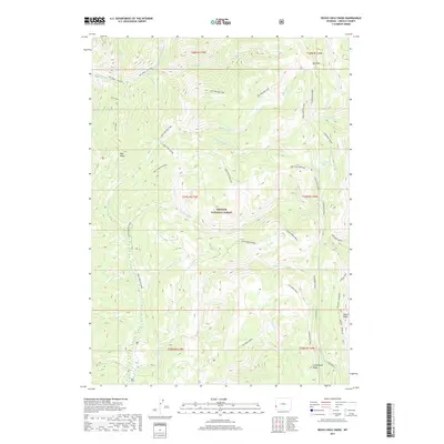
2017 Map of Devils Hole Creek
USGS Topo · Published 2017About this map
Bridger National Forest defines the high-altitude landscape of Lincoln County in this 2017 survey, where a complex network of forest roads and pack trails crisscross the divide. The topography is anchored by the massive Commissary Ridge, which runs north-to-south along the eastern edge, serving as a primary watershed divide. Drainage systems like Hams Fork Cr and the S Fork Hams Fork flow through the central valleys, while the secluded Devils Hole Lakes sit tucked beneath the eastern slopes.
Find a feature on this map
38 named features on this map. Tap any name to fly to it.
Don’t see what you’re looking for? This feature index may not catch every label — zoom into the map to look around manually.
Map Details
Editions of this 2017 Devils Hole Creek Map
This is the sole edition of this map. No revisions or reprints were ever made.
Other maps of this area

1936 · Cokeville
USGS Topo · 1:96,000

1942 · Cokeville
USGS Topo · 1:125,000

1955 · Preston
USGS Topo · 1:250,000

1958 · Preston
USGS Topo · 1:250,000

1962 · Preston
USGS Topo · 1:250,000
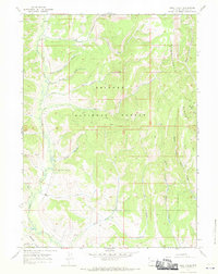
1967 · Pole Creek
USGS Topo · 1:24,000

1967 · Devils Hole Creek
USGS Topo · 1:24,000

1967 · Graham Peak
USGS Topo · 1:24,000

1967 · Big Park
USGS Topo · 1:24,000

1967 · Porcupine Creek
USGS Topo · 1:24,000