
1953 Map of Devils Lake
USGS Topo · Published 1968About this map
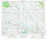
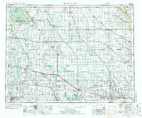
Turtle Mountain rises above the glacial plains of North Dakota, anchoring a landscape defined by seasonal wetlands and intensive rail-based commerce. The sheet illustrates a high-density network of grain elevators and small trade centers like Rugby, Devils Lake, and Rolla that flourished alongside the Great Northern and Soo Line railroads. These transit corridors were the lifeblood of the region, connecting isolated agricultural outposts to larger markets during the mid-20th century.
Find a feature on this map
168 named features on this map. Tap any name to fly to it.
Don’t see what you’re looking for? This feature index may not catch every label — zoom into the map to look around manually.
Map Details
Editions of this 1953 Devils Lake Map
3 editions found
Other maps of this area

1918 · Walhalla
USGS Topo · 1:62,500

1928 · Tokio
USGS Topo · 1:62,500

1930 · Pekin
USGS Topo · 1:62,500

1930 · Hamar
USGS Topo · 1:62,500

1931 · Oberon
USGS Topo · 1:62,500

1931 · Tokio
USGS Topo · 1:62,500

1931 · Devils Lake
USGS Topo · 1:62,500

1932 · Flora
USGS Topo · 1:62,500

1932 · Grahams Island
USGS Topo · 1:62,500

1935 · Dunseith
USGS Topo · 1:48,000