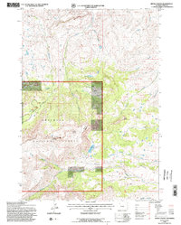
1991 Map of Devils Tooth
USGS Topo · Published 1996About this map
Shoshone National Forest defines the high-elevation landscape of this 1991 survey, dominated by the massive profile of Carter Mountain and the distinct peak of Devils Tooth. The geography is characterized by an intricate drainage network where North Fork Meeteetse Creek and Meeteetse Creek cut deep through the rugged terrain. Unlike more settled regions, this area is defined by resource management and recreation, evident in the presence of Pete Miller Park and several high-altitude water bodies like Foster Reservoir and Hidden Lake. The map reveals a complex system of land administration through numerous surveyed lots, including Lot 40 and Lot 92, which fragment the wilderness along the national forest boundaries. This detailed topographic study preserves the transition from the high ridges of Pete 10041 down to the stream valleys that feed the region’s larger watersheds.
Find a feature on this map
52 named features on this map. Tap any name to fly to it.
Don’t see what you’re looking for? This feature index may not catch every label — zoom into the map to look around manually.
Map Details
Editions of this 1991 Devils Tooth Map
2 editions found
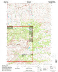
Other maps of this area

1955 · Cody
USGS Topo · 1:250,000

1957 · Wapiti
USGS Topo · 1:62,500

1957 · Devils Tooth
USGS Topo · 1:62,500

1957 · Irish Rock
USGS Topo · 1:62,500

1957 · Sunshine Reservoir
USGS Topo · 1:62,500

1958 · Cody
USGS Topo · 1:250,000

1962 · Cody
USGS Topo · 1:250,000

1980 · Carter Mountain
USGS Topo · 1:100,000
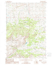
1987 · Devils Tooth
USGS Topo · 1:24,000
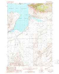
1987 · Irma Flats
USGS Topo · 1:24,000