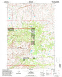
1991 Map of Devils Tooth
USGS Topo · Published 1996About this map
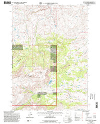
Carter Mountain dominates this high-altitude reach of the Shoshone National Forest, characterized by the prominent rocky spire of Devils Tooth. Published in 1996 based on earlier Forest Service revisions, the map reveals a landscape defined by water management and high-country access, featuring Foster Reservoir and Coe Reservoir among the drainages. Historical land partitioning is evident through a dense network of surveyed tracts, including Lot 48 and Lot 92, which overlay the natural topography of Pete Miller Park. These survey lots often indicate complex grazing allotments or private inholdings within the federal forest boundary. Infrastructure for wilderness management is anchored by a Ranger Station, while a web of primitive roads and trails follows the contours of Meeteetse Creek and Marquette Creek, providing a detailed record of late 20th-century back-country access and resource monitoring in Park County.
Find a feature on this map
53 named features on this map. Tap any name to fly to it.
Don’t see what you’re looking for? This feature index may not catch every label — zoom into the map to look around manually.
Map Details
Editions of this 1991 Devils Tooth Map
2 editions found
Other maps of this area

1955 · Cody
USGS Topo · 1:250,000

1957 · Wapiti
USGS Topo · 1:62,500

1957 · Devils Tooth
USGS Topo · 1:62,500

1957 · Irish Rock
USGS Topo · 1:62,500

1957 · Sunshine Reservoir
USGS Topo · 1:62,500

1958 · Cody
USGS Topo · 1:250,000

1962 · Cody
USGS Topo · 1:250,000

1980 · Carter Mountain
USGS Topo · 1:100,000
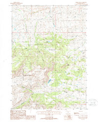
1987 · Devils Tooth
USGS Topo · 1:24,000
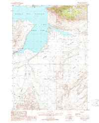
1987 · Irma Flats
USGS Topo · 1:24,000