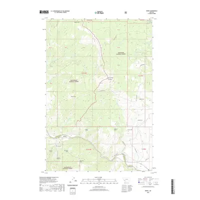
2020 Map of Dewey
USGS Topo · Published 2020About this map
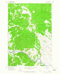
The Big Hole River winds along the southern edge of this montane landscape, marking the historical border between Silver Bow and Beaverhead counties. The settlement of Dewey sits on the river's northern bank, serving as a primary point of human activity in an area otherwise dominated by the high-elevation reaches of the Deerlodge and Beaverhead National Forests. Local history is anchored by the Dewey Cem and a network of named drainages like Nez Perce Gulch and Sheep Gulch that hint at early land use and migration patterns through these peaks.
Find a feature on this map
58 named features on this map. Tap any name to fly to it.
Don’t see what you’re looking for? This feature index may not catch every label — zoom into the map to look around manually.
Map Details
Editions of this 2020 Dewey Map
This is the sole edition of this map. No revisions or reprints were ever made.
Other maps of this area
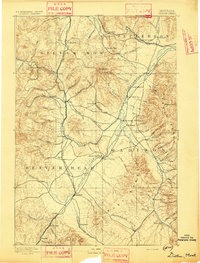
1893 · Dillon
USGS Topo · 1:250,000

1955 · Dillon
USGS Topo · 1:250,000

1957 · Dillon
USGS Topo · 1:250,000
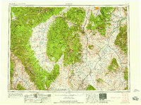
1958 · Dillon
USGS Topo · 1:250,000
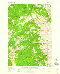
1958 · Vipond Park
USGS Topo · 1:62,500
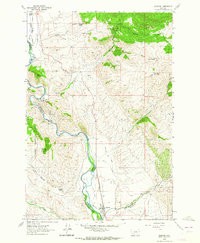
1961 · Melrose
USGS Topo · 1:24,000
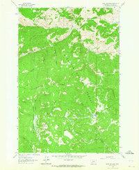
1961 · Burnt Mountain
USGS Topo · 1:24,000
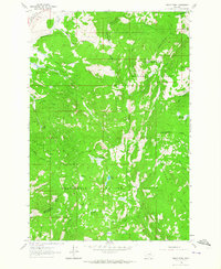
1961 · Dickie Peak
USGS Topo · 1:24,000
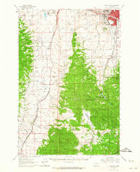
1961 · Butte South
USGS Topo · 1:62,500
1961 · Dewey
USGS Topo · 1:24,000