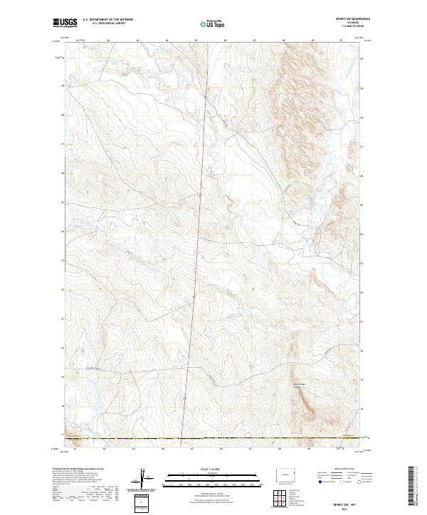
2021 Map of Dewey SW
USGS Topo · Published 2021About this map
Rattlesnake Ridge rises above a high plains landscape where the borders of Weston and Niobrara counties meet. This ranchland terrain is defined by a dendritic network of seasonal drainages, including Beaver Creek and its various tributaries like S Beaver Creek and Stockade Beaver Creek. The presence of Robbers Roost Creek in the southwest corner hints at the regional frontier history and the movement of travelers through this open country. Transportation across these grazing lands is facilitated by a grid of rural routes such as Cheyenne River Road and Morrsey Road, alongside the more established corridor of Old Hwy 85. The map reflects a modern period of land management where traditional livestock ranching intersects with contemporary surveying, as evidenced by the clearly marked township and range sections.
Find a feature on this map
17 named features on this map. Tap any name to fly to it.
Don’t see what you’re looking for? This feature index may not catch every label — zoom into the map to look around manually.
Map Details
Editions of this 2021 Dewey SW Map
This is the sole edition of this map. No revisions or reprints were ever made.
Other maps of this area

1899 · Newcastle
USGS Topo · 1:125,000

1901 · Newcastle
USGS Topo · 1:125,000

1951 · Owens
USGS Topo · 1:24,000

1951 · Dewey
USGS Topo · 1:24,000

1951 · Dewey SW
USGS Topo · 1:24,000

1951 · Twentyone Divide
USGS Topo · 1:24,000

1951 · Morrisey NE
USGS Topo · 1:24,000

1951 · Clifton
USGS Topo · 1:24,000

1955 · Newcastle
USGS Topo · 1:250,000

1958 · Newcastle
USGS Topo · 1:250,000