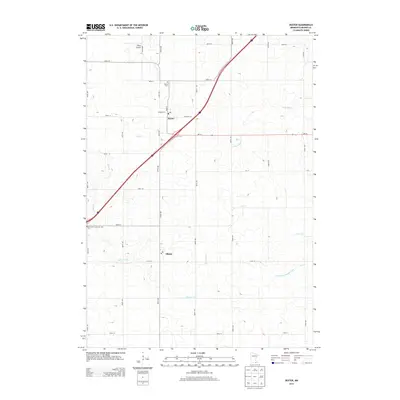
2013 Map of Dexter
USGS Topo · Published 2013About this map
Dexter and Elkton anchor this corner of Mower County, where the agricultural landscape is defined by a grid of rural roads and the diagonal passage of Interstate 90. The map records several vital community landmarks, including the Dexter Cem and Saint John's Lutheran Cem, which offer significant value for genealogists tracing local family roots. A network of waterways including Rose Creek and Schwerin Creek wind through the township, feeding into more engineered drainage features like County Ditch Number Eight. To the north of Dexter, the small aviation site of Petes Airport sits among the fields. This survey provides a clear view of the modern infrastructure and drainage patterns that support the region's farming economy, from the intersections of MN-16 to the quiet local reaches of Deer Creek.
Find a feature on this map
24 named features on this map. Tap any name to fly to it.
Don’t see what you’re looking for? This feature index may not catch every label — zoom into the map to look around manually.
Map Details
Editions of this 2013 Dexter Map
This is the sole edition of this map. No revisions or reprints were ever made.
Other maps of this area

1954 · Austin
USGS Topo · 1:62,500

1954 · Mason City
USGS Topo · 1:250,000

1955 · High Forest
USGS Topo · 1:62,500

1957 · Mason City
USGS Topo · 1:250,000

1958 · Mason City
USGS Topo · 1:250,000

1965 · Le Roy
USGS Topo · 1:24,000

1965 · Dexter
USGS Topo · 1:24,000

1965 · Grand Meadow
USGS Topo · 1:24,000

1965 · Adams
USGS Topo · 1:24,000

1966 · Sargeant
USGS Topo · 1:24,000