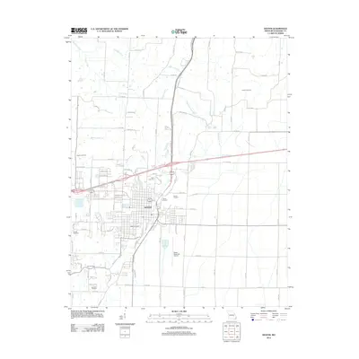
2012 Map of Dexter
USGS Topo · Published 2012About this map
The city of Dexter serves as the central hub of this 2012 Missouri survey, exhibiting a detailed street grid and significant transportation infrastructure. The intersection of major regional routes and rail lines shaped the town's expansion, including the outlying Dexter Junction to the east and the Dexter Municipal Airport to the south. Numerous small family or community burial grounds are scattered throughout the rural landscape surrounding the city center, such as Kinder Cemetery, Sadlers Cemetery, and Dowdy Cemetery, providing essential markers for genealogists and local historians. The northern and western reaches of the quadrangle are defined by a network of drainage ways, including Delaware Creek, Cane Creek, and Blackshire Branch, which meander through the agricultural plots typical of this part of Stoddard County.
Find a feature on this map
92 named features on this map. Tap any name to fly to it.
Don’t see what you’re looking for? This feature index may not catch every label — zoom into the map to look around manually.
Map Details
Editions of this 2012 Dexter Map
This is the sole edition of this map. No revisions or reprints were ever made.
Other maps of this area

1934 · Bloomfield
USGS Topo · 1:62,500

1934 · Puxico
USGS Topo · 1:62,500

1939 · Bloomfield
USGS Topo · 1:62,500

1939 · Puxico
USGS Topo · 1:62,500

1940 · Malden
USGS Topo · 1:62,500

1940 · Valley Ridge
USGS Topo · 1:62,500

1949 · Bloomfield
USGS Topo · 1:62,500

1956 · Valley Ridge
USGS Topo · 1:62,500

1956 · Malden
USGS Topo · 1:62,500

1956 · Dyersburg
USGS Topo · 1:250,000