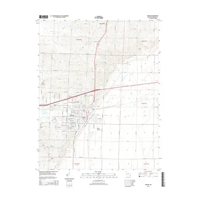
2015 Map of Dexter
USGS Topo · Published 2015About this map
Dexter serves as the primary hub in this Missouri landscape, where the flatlands of the Bootheel region meet the rising terrain near Bloomfield. The map reveals a dense network of local history through its numerous burial grounds, including Miller Cemetery and the Sadler Chapel Cemetery near Sadler Chapel. This concentration of small family and community cemeteries provides essential markers for genealogists tracing the legacy of Stoddard County's early settlers.
Find a feature on this map
131 named features on this map. Tap any name to fly to it.
Don’t see what you’re looking for? This feature index may not catch every label — zoom into the map to look around manually.
Map Details
Editions of this 2015 Dexter Map
This is the sole edition of this map. No revisions or reprints were ever made.
Other maps of this area

1934 · Bloomfield
USGS Topo · 1:62,500

1934 · Puxico
USGS Topo · 1:62,500

1939 · Bloomfield
USGS Topo · 1:62,500

1939 · Puxico
USGS Topo · 1:62,500

1940 · Malden
USGS Topo · 1:62,500

1940 · Valley Ridge
USGS Topo · 1:62,500

1949 · Bloomfield
USGS Topo · 1:62,500

1956 · Valley Ridge
USGS Topo · 1:62,500

1956 · Malden
USGS Topo · 1:62,500

1956 · Dyersburg
USGS Topo · 1:250,000