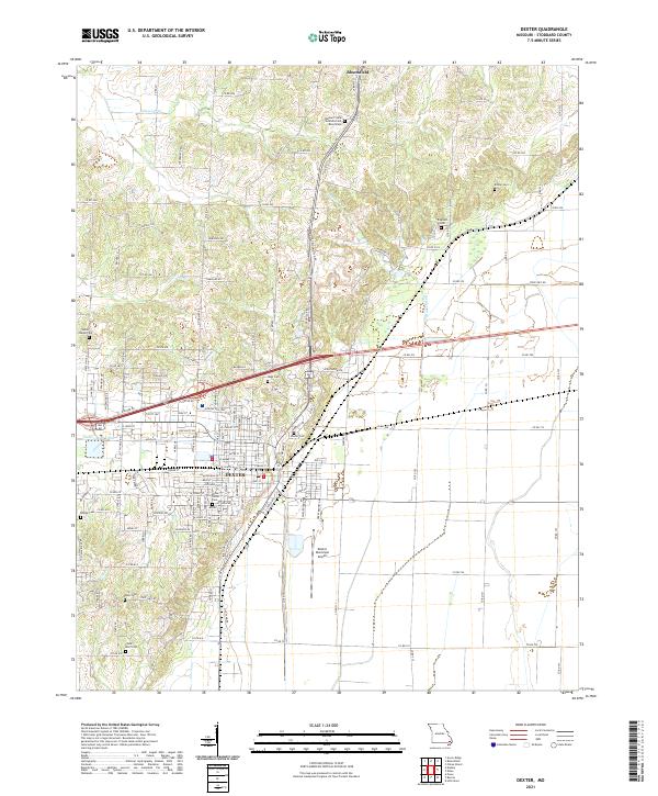
2021 Map of Dexter
USGS Topo · Published 2021About this map
Dexter serves as the primary urban center of this Stoddard County landscape, situated at the crossroads of regional highways and rail corridors. The terrain is characterized by a high density of rural burial sites, including the Missouri State Veterans Cem - Bloomfield and numerous family-named locations such as Kinder Cem, Triplett Cem, and Ezell Cem. These sites, alongside the Chalk Bluff Cem in the south, offer significant value for genealogical research.
Find a feature on this map
65 named features on this map. Tap any name to fly to it.
Don’t see what you’re looking for? This feature index may not catch every label — zoom into the map to look around manually.
Map Details
Editions of this 2021 Dexter Map
This is the sole edition of this map. No revisions or reprints were ever made.
Other maps of this area

1934 · Bloomfield
USGS Topo · 1:62,500

1934 · Puxico
USGS Topo · 1:62,500

1939 · Bloomfield
USGS Topo · 1:62,500

1939 · Puxico
USGS Topo · 1:62,500

1940 · Malden
USGS Topo · 1:62,500

1940 · Valley Ridge
USGS Topo · 1:62,500

1949 · Bloomfield
USGS Topo · 1:62,500

1956 · Valley Ridge
USGS Topo · 1:62,500

1956 · Malden
USGS Topo · 1:62,500

1956 · Dyersburg
USGS Topo · 1:250,000