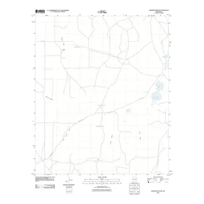
2010 Map of Diamond Mound
USGS Topo · Published 2010About this map
Diamond Mound rises above a landscape defined by seasonal catchments and ranching outposts in this part of Chaves County. The 2010 survey highlights a series of water features that suggest the ephemeral drainage patterns of the high desert, including White Lake, Henderson Lake, and Crow Flat Lake. These shallow basins are critical for local livestock operations like Merritt Ranch, which sits at the junction of several dirt tracks near Derrick Draw. The terrain shifts from the level expanses of Crow Flats to the elevated profile of Pavo Mesa in the east, where more concentrated water bodies like Jahie Lake and Nakee Ishee Lake are located. Transportation through this remote section of New Mexico relies on a sparse network of county roads, most notably Dog Canyon Rd, which cuts diagonally across the quadrangle, and Rat Camp Rd to the north.
Find a feature on this map
16 named features on this map. Tap any name to fly to it.
Don’t see what you’re looking for? This feature index may not catch every label — zoom into the map to look around manually.
Map Details
Editions of this 2010 Diamond Mound Map
This is the sole edition of this map. No revisions or reprints were ever made.
Other maps of this area

1951 · Ninemile Well
USGS Topo · 1:24,000

1951 · King Camp
USGS Topo · 1:24,000

1951 · Diamond Mound
USGS Topo · 1:24,000

1951 · Hagerman
USGS Topo · 1:24,000

1953 · Basin Well
USGS Topo · 1:24,000

1954 · Carlsbad
USGS Topo · 1:250,000

1955 · Artesia NE
USGS Topo · 1:24,000

1955 · Spring Lake
USGS Topo · 1:24,000

1955 · Red Lake SE
USGS Topo · 1:24,000

1955 · Roswell
USGS Topo · 1:250,000