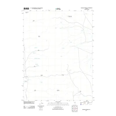
2012 Map of Diamond Springs
USGS Topo · Published 2012About this map
Huntington Creek Mining Area and a series of numbered claims define the industrial character of this high-desert landscape in the early 21st century. The terrain is dominated by the Diamond Mountains and the broad Diamond Valley, where vital water sources like Diamond Springs and Thompson Ranch Spring supported early settlement and ranching efforts. The Thompson Ranch remains a central landmark in this arid basin, connected by the historical Eureka-Thompsons route.
Find a feature on this map
33 named features on this map. Tap any name to fly to it.
Don’t see what you’re looking for? This feature index may not catch every label — zoom into the map to look around manually.
Map Details
Editions of this 2012 Diamond Springs Map
This is the sole edition of this map. No revisions or reprints were ever made.
Other maps of this area

1934 · Jiggs
USGS Topo · 1:125,000

1937 · Jiggs
USGS Topo · 1:125,000

1955 · Elko
USGS Topo · 1:250,000

1956 · Ely
USGS Topo · 1:250,000

1957 · Diamond Springs
USGS Topo · 1:62,500

1957 · Cold Creek Ranch
USGS Topo · 1:62,500

1958 · Elko
USGS Topo · 1:250,000

1959 · Ely
USGS Topo · 1:250,000

1959 · Railroad Pass
USGS Topo · 1:62,500

1959 · Sherman Mtn
USGS Topo · 1:62,500