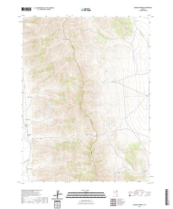
2021 Map of Diamond Springs
USGS Topo · Published 2021About this map
The Diamond Mountains dominate this high-desert landscape, serving as a natural divide between Diamond Valley to the west and the rolling basins to the east. Historically significant transit routes define the southern half of the map, notably the Pony Express Trl which skirts the base of the range near Horse Canyon, and the Overland Pass that provides a navigable breach through the mountain wall.
Find a feature on this map
40 named features on this map. Tap any name to fly to it.
Don’t see what you’re looking for? This feature index may not catch every label — zoom into the map to look around manually.
Map Details
Editions of this 2021 Diamond Springs Map
This is the sole edition of this map. No revisions or reprints were ever made.
Other maps of this area

1934 · Jiggs
USGS Topo · 1:125,000

1937 · Jiggs
USGS Topo · 1:125,000

1955 · Elko
USGS Topo · 1:250,000

1956 · Ely
USGS Topo · 1:250,000

1957 · Diamond Springs
USGS Topo · 1:62,500

1957 · Cold Creek Ranch
USGS Topo · 1:62,500

1958 · Elko
USGS Topo · 1:250,000

1959 · Ely
USGS Topo · 1:250,000

1959 · Railroad Pass
USGS Topo · 1:62,500

1959 · Sherman Mtn
USGS Topo · 1:62,500