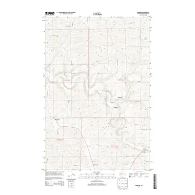
2013 Map of Diamond
USGS Topo · Published 2013About this map
The Palouse River and its meandering tributaries carve through the rolling agricultural landscape of Whitman County, defining the settlement patterns of the early 21st century. This region is characterized by small unincorporated communities and named locales such as Diamond, Manning, and Harpole, which serve as waypoints along the drainage of Rebel Flat Cr. The map reveals a deeply personal geography where rural infrastructure is inextricably linked to local families, evidenced by roads like Frank Feenan Rd, Gene Feenan Rd, and L Anderson Rd. The southern edge of the survey transitions toward the larger hub of Colfax, while more secluded sites like Mockonema and the Stipe Cem provide crucial points of interest for genealogists and local historians. This network of backroads and watercourses like Dry Cr and Frog Cr illustrates the enduring rural character of the Washington Palouse.
Find a feature on this map
33 named features on this map. Tap any name to fly to it.
Don’t see what you’re looking for? This feature index may not catch every label — zoom into the map to look around manually.
Map Details
Editions of this 2013 Diamond Map
This is the sole edition of this map. No revisions or reprints were ever made.
Other maps of this area

1903 · Oakesdale
USGS Topo · 1:125,000

1905 · Oakesdale
USGS Topo · 1:125,000

1910 · Pullman
USGS Topo · 1:125,000

1950 · Endicott
USGS Topo · 1:62,500

1955 · Pullman
USGS Topo · 1:250,000

1955 · Spokane
USGS Topo · 1:250,000

1958 · Spokane
USGS Topo · 1:250,000

1958 · Pullman
USGS Topo · 1:250,000

1964 · Diamond
USGS Topo · 1:24,000

1964 · St. John
USGS Topo · 1:24,000