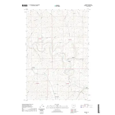
2020 Map of Diamond
USGS Topo · Published 2020About this map
The Palouse River winds through the hills of Whitman County, defining the agricultural landscape of this region. The small settlement of Diamond sits at the base of the surrounding ridges, while the winding Dry Cr and Frog Cr carve through the deep coulees of the Rebel Flat area. This landscape is characterized by its high-plateau topography and a dense network of country roads named for local families, such as Stipe Rd, Ruff Rd, and Frank Feenan Rd, reflecting a legacy of long-standing land ownership. The presence of Stipe Cem and small rural localities like Manning, Harpole, and Mockonema offers significant detail for researchers tracing local genealogy and the evolution of Palouse country settlements toward the western edge of Colfax.
Find a feature on this map
35 named features on this map. Tap any name to fly to it.
Don’t see what you’re looking for? This feature index may not catch every label — zoom into the map to look around manually.
Map Details
Editions of this 2020 Diamond Map
This is the sole edition of this map. No revisions or reprints were ever made.
Other maps of this area

1903 · Oakesdale
USGS Topo · 1:125,000

1905 · Oakesdale
USGS Topo · 1:125,000

1910 · Pullman
USGS Topo · 1:125,000

1950 · Endicott
USGS Topo · 1:62,500

1955 · Pullman
USGS Topo · 1:250,000

1955 · Spokane
USGS Topo · 1:250,000

1958 · Spokane
USGS Topo · 1:250,000

1958 · Pullman
USGS Topo · 1:250,000

1964 · Diamond
USGS Topo · 1:24,000

1964 · St. John
USGS Topo · 1:24,000