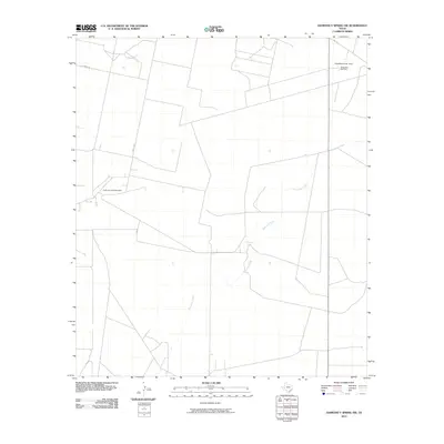
2010 Map of Diamond Y Spring NW
USGS Topo · Published 2010About this map
The energy economy of West Texas is the defining characteristic of this landscape in Pecos County. The Grassroots Oil Field and the Athey Oil and Gas Field dominate the area, supported by industrial infrastructure like the Santa Rosa Gas Plant. This concentration of resources illustrates the mid-to-late 20th-century development of the Permian Basin's hydrocarbon reserves, where a network of unpaved access roads like Gamboa Rd and Trophy Rd cross the terrain to reach remote drilling sites. Natural water features are scarce in this arid environment, making the location of Monument Springs and the winding path of Courtney Creek significant landmarks for historical land use and cattle ranching before the intensive expansion of the oil industry.
Find a feature on this map
8 named features on this map. Tap any name to fly to it.
Don’t see what you’re looking for? This feature index may not catch every label — zoom into the map to look around manually.
Map Details
Editions of this 2010 Diamond Y Spring NW Map
This is the sole edition of this map. No revisions or reprints were ever made.
Other maps of this area

1931 · Barstow
USGS Topo · 1:125,000

1954 · Pecos
USGS Topo · 1:250,000

1957 · Pecos
USGS Topo · 1:250,000

1963 · Rio Pecos Ranch
USGS Topo · 1:24,000

1969 · Grandfalls
USGS Topo · 1:24,000
1974 · Diamond Y Spring NE
USGS Topo · 1:24,000
1974 · Coyanosa
USGS Topo · 1:24,000
1974 · Diamond Y Spring SE
USGS Topo · 1:24,000
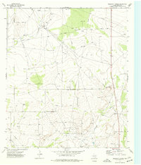
1974 · Diamond Y Spring
USGS Topo · 1:24,000
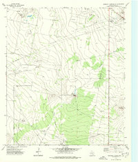
1974 · Diamond Y Spring NW
USGS Topo · 1:24,000