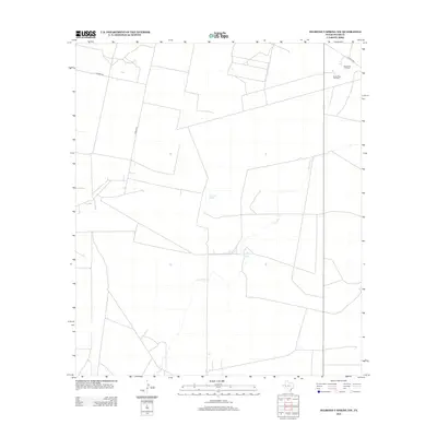
2012 Map of Diamond Y Spring NW
USGS Topo · Published 2012About this map
The Grassroots Oil Field and the Santa Rosa Gas Plant define the industrial footprint of this West Texas landscape. Located in Pecos County, the area is characterized by the intersection of energy production and isolated water sources. Critical water points like Monument Springs and Bonebrake Spring provide a stark contrast to the surrounding arid terrain, where the ephemeral Courtney Cr meanders through the southern portion of the quadrangle. Transportation is limited to a sparse grid of rural routes including Gamboa Rd, Trophy Rd, and Co Hwy 1450. This survey provides a precise look at the infrastructure required to sustain petroleum extraction in the early 21st century, showing how modern industry overlays the region's natural spring systems.
Find a feature on this map
8 named features on this map. Tap any name to fly to it.
Don’t see what you’re looking for? This feature index may not catch every label — zoom into the map to look around manually.
Map Details
Editions of this 2012 Diamond Y Spring NW Map
This is the sole edition of this map. No revisions or reprints were ever made.
Other maps of this area

1931 · Barstow
USGS Topo · 1:125,000

1954 · Pecos
USGS Topo · 1:250,000

1957 · Pecos
USGS Topo · 1:250,000

1963 · Rio Pecos Ranch
USGS Topo · 1:24,000

1969 · Grandfalls
USGS Topo · 1:24,000
1974 · Diamond Y Spring NE
USGS Topo · 1:24,000
1974 · Coyanosa
USGS Topo · 1:24,000
1974 · Diamond Y Spring SE
USGS Topo · 1:24,000
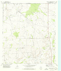
1974 · Diamond Y Spring
USGS Topo · 1:24,000
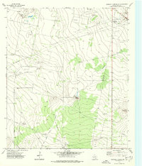
1974 · Diamond Y Spring NW
USGS Topo · 1:24,000